Kuuden päivän jälkeen ensimmäinen kauppa: Ristiina. Löydön rannalta sinne on neljä kilometriä kävellen, tai bussilla. Kaikki, mitä retkellä ei syödä, on painoa, joka on melottu.
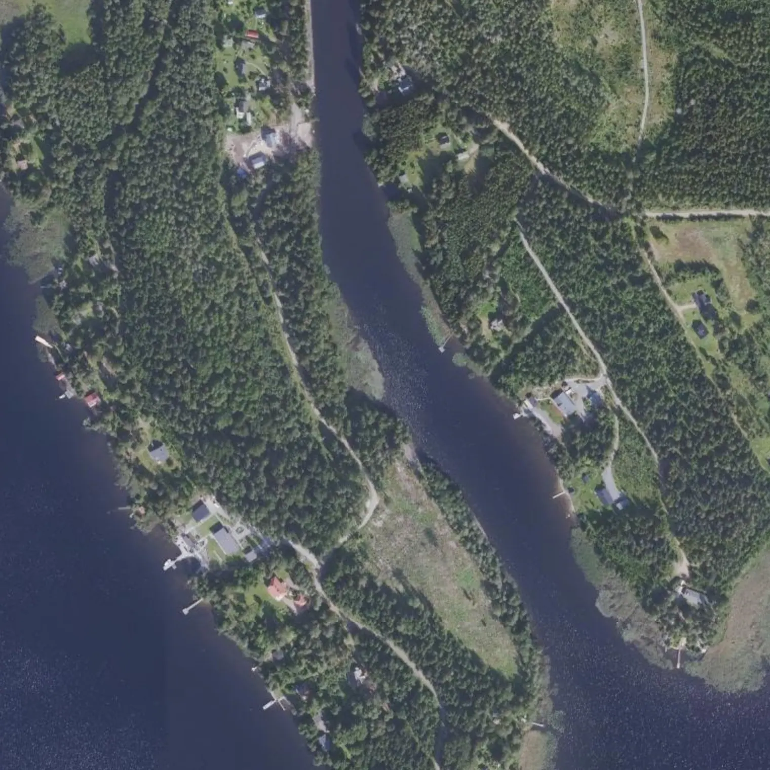
Siikasalmi on vuonna 1833 ruopattu kanava, jota Mikkelin risteilyveneet käyttävät. Viimeinen yö vietetään Kyyhkylän rannalla, ja illallinen, katto ja bussi ovat muutaman sadan metrin päässä.
Reittivihkosta
Tulostetun reittivihkon kohteet siinä järjestyksessä kuin ne tulevat vastaan vedellä. Pitkät tekstit näytetään englanniksi.
1
km 59,43
Lähtö: kaksi kilometriä kauppaan
13.9 km of paddling PLUS the shopping. Set off early: at 2.1 km is the Löydönranta ramp and from there starts the only reliable resupply of the crossing. If you do the shopping on foot it takes 3 h; by bus, a tight 45 min. Plan it before wetting the blade.
From the ramp, the K-Market is 5.2 km BY ROAD: 10.4 there and back, a good 3 h with the shopping on your back. By water you only get there by GOING ROUND via Yövesi (18.3 km): so no. Go up by bus: the Löytö stop is 200 m from the road (Mikkeli-Ristiina-Pellos line) and drops you at Ristiina Matkahuolto. On weekdays 6 runs there and 7 back; SATURDAY AND SUNDAY a single run in (~13:35) and two back, 14:20 and 18:10. Mind how the village is laid out: FOOD is 50-320 m from that station (kebab-pizzeria, Wanha Martta, pub Groove, Kahvila-ravintola Saimaa); the SHOPS are 1.1-1.4 km further up — K-Market, S-market, Alko, pharmacy and the ONLY HEALTH CENTRE in the 80.5 km; the hours for all of that are on the data sheet. At the weekend, with the 14:20 return you get a tight 45 minutes of shopping; with the 18:10 it is 4 h 35 and there is time for a sit-down meal — but you lose the afternoon's paddling. After that there is only Mikkeli.
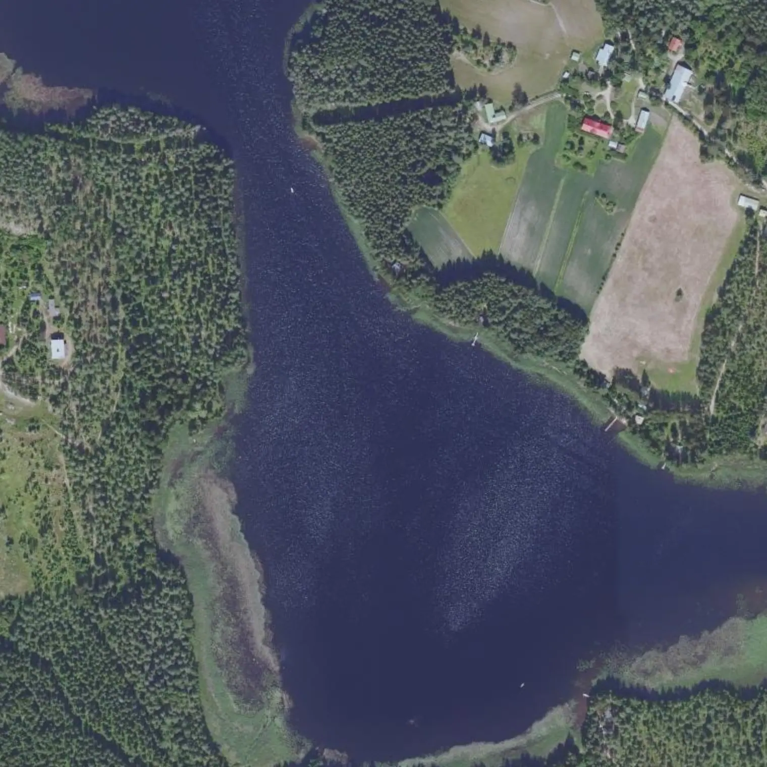
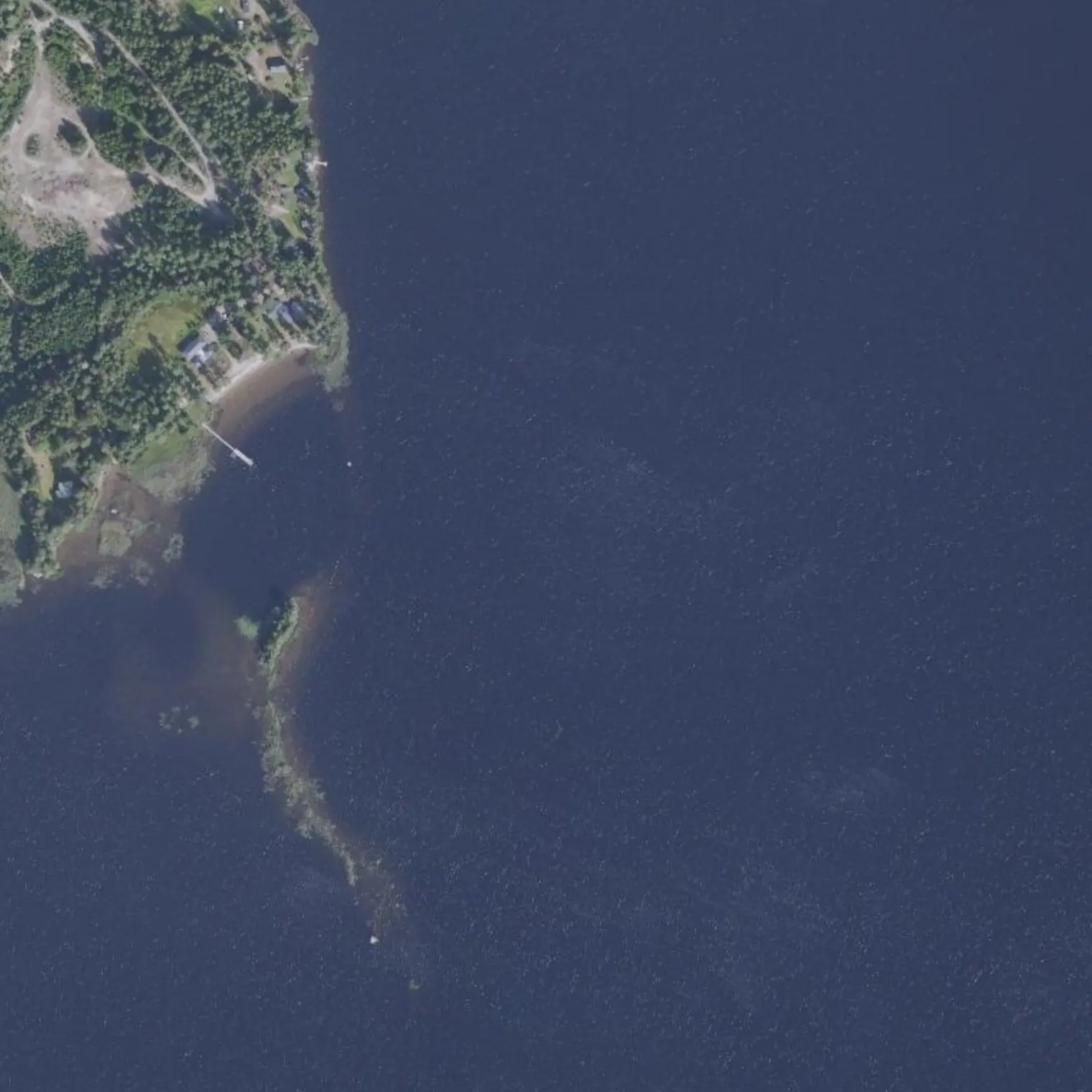
Public sandy uimapaikka 107 m from the track, sheltered bay: good landing and water. It is NOT a camp site — a municipal beach and someone else's piha, with houses alongside —: it is where you leave the boat while you go up to Ristiina. The Löydönranta ramp, 40 m further on, has the Löytö stop (200 m) nearby, which is how you get to and from the village — but it is NOT an escape-plan exit: this stage's exits are S10 (km 64.4) and S11 (km 72.0).
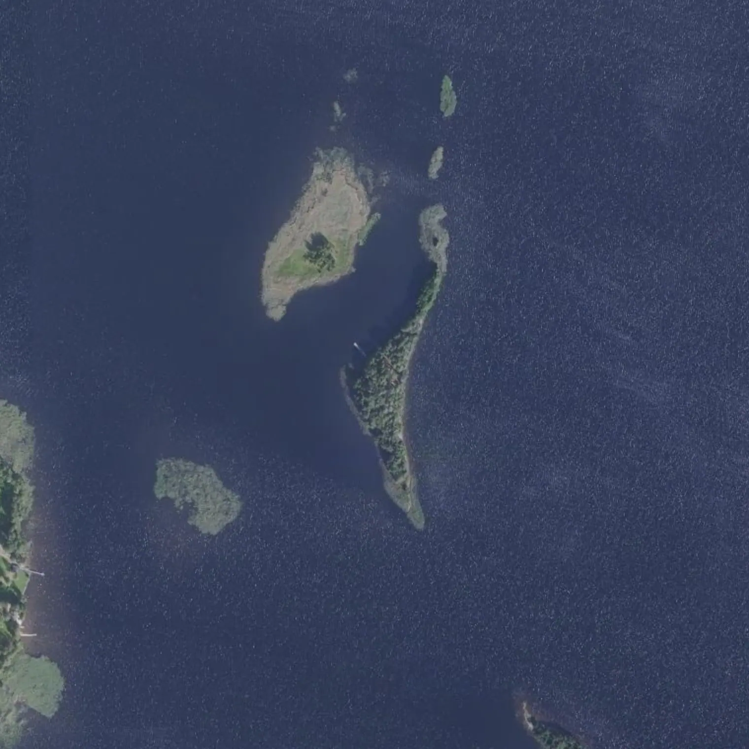
Laavu on an island 124 m from the track, with latrine and jetty and the nearest house 405 m away: the last clean site before Mikkeli. It is not in LIPAS, but a paddler who was there in 2019 describes it — sandy island, sloping ground, a few tent spots. If the shopping has eaten the morning, the day ends here, no argument.
Northern edge of the ringed seal's range: from here to the end its presence is marginal, but the duty not to disturb applies all year round and on the whole lake. Keep a lookout without obsessing.
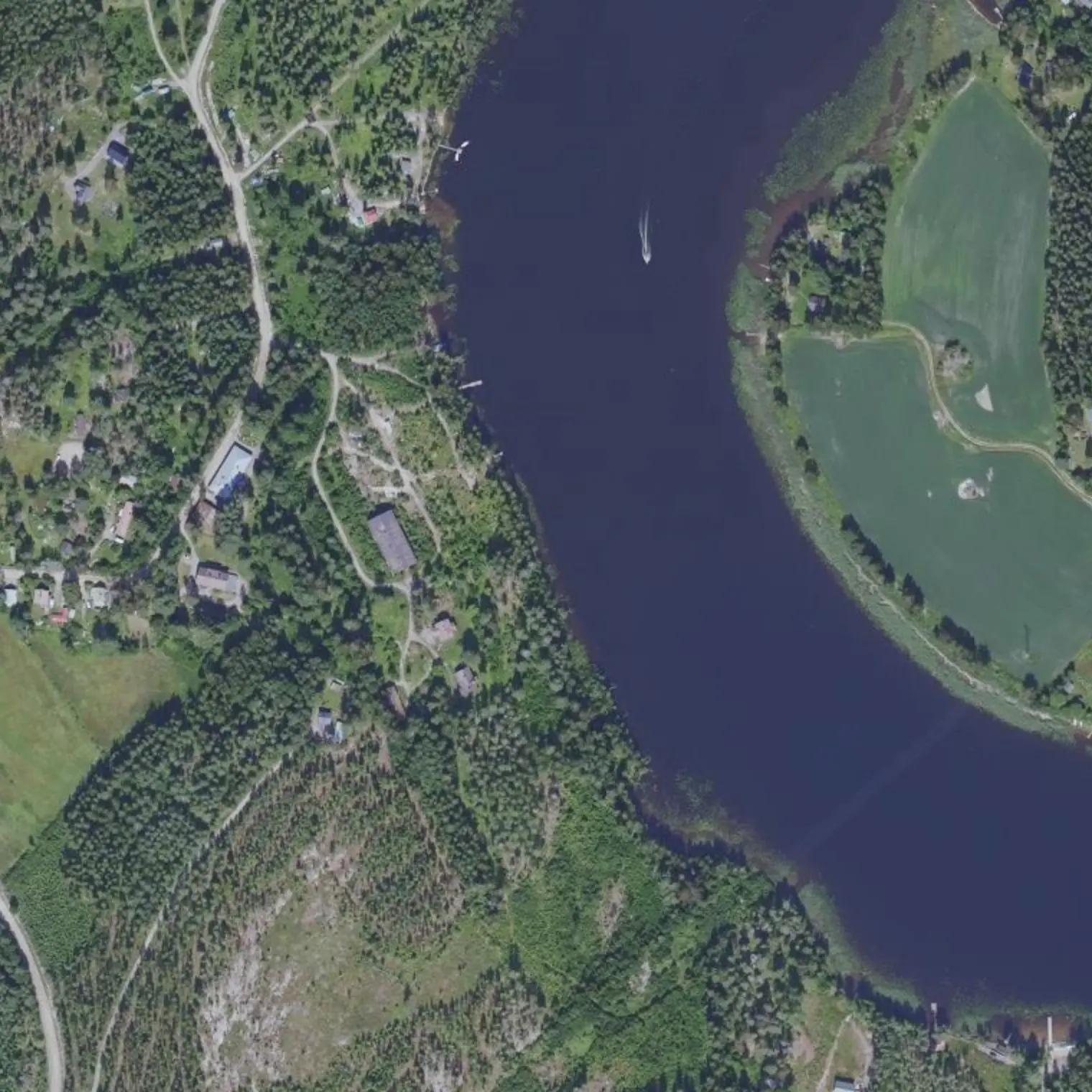
The Siikasalmi strait and, inside it, a DREDGED CHANNEL: 300 m long by 11.8 wide and 2.4 draught, opened in 1833 and deepened in 1851 and 1874-75. The Mikkeli EXCURSION BOATS pass through here, coming down the western channel and joining the corridor right here — although their early-autumn cruises were UNCONFIRMED for 2026, and the passenger traffic that is actually dated in September is the fast boat of the Toijola channels, two stages back. And you don't cross it: you run alongside it for 1.2 km (km 70.1-71.3), 15-60 m away. Keep close to the shore and look behind. In your favour, MEASURED: that whole kilometre and a bit is a 9 km/h zone with a no-wash rule, so the excursion boat comes slowly and without a wake. Ramp to starboard: exit to the road if you have to abort.
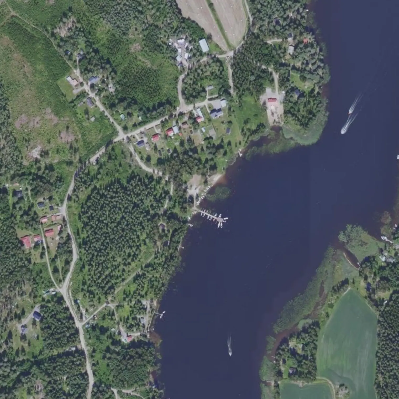
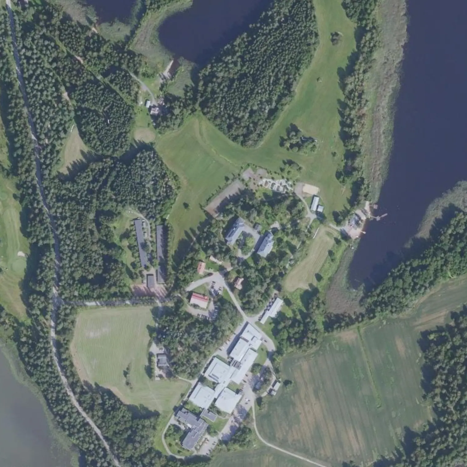
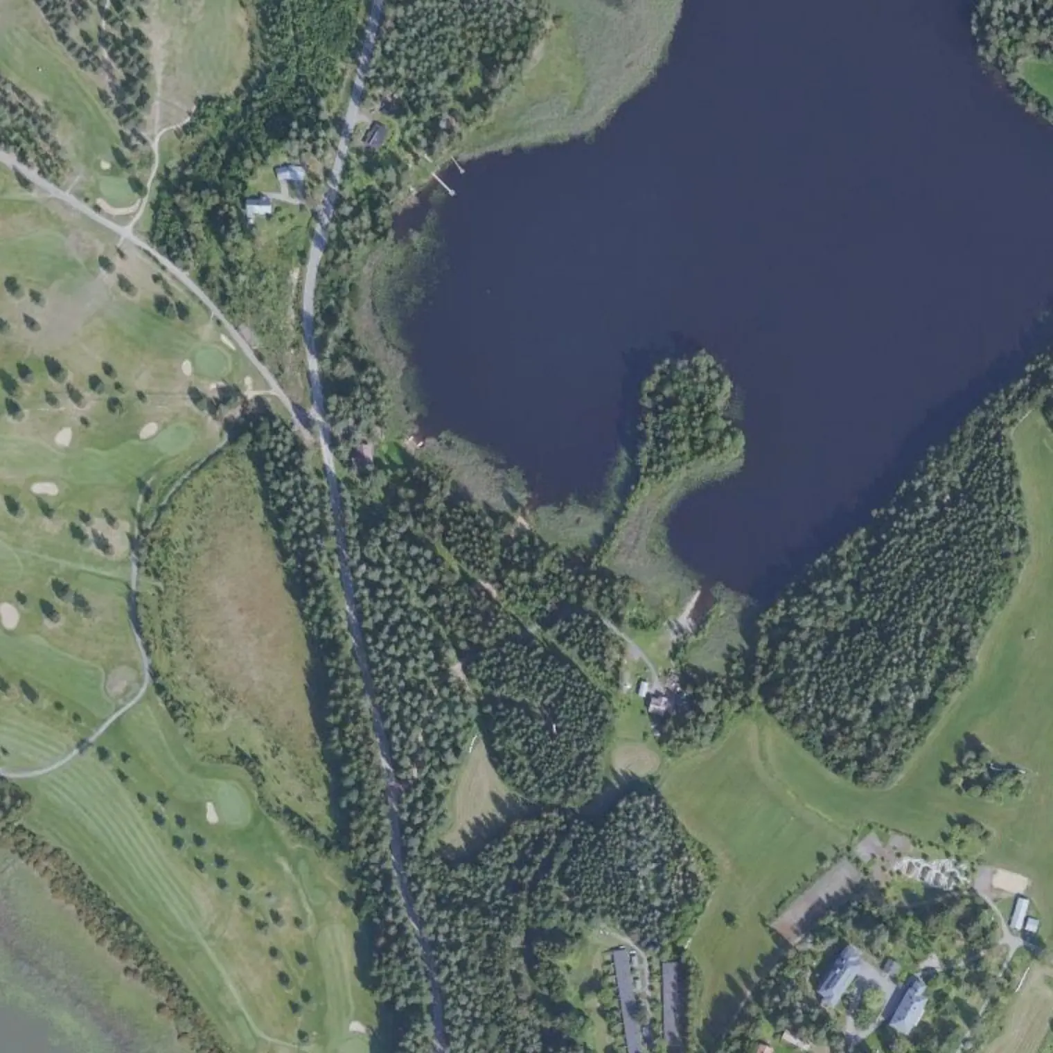
778 m on foot from the beach, the Kyyhkylän kartano: 32-room hotel, lakeside sauna and two restaurants (Ravintola Armas, kotiruokaa on weekdays). 343 m away, a STOP on the Mikkeli line. It is the best-served night of the trip and the easiest exit: details in Stage 7.
MUNICIPAL beach, free to use according to LIPAS (it belongs to the Town Council), 1.1 km W of the track. That is 600 m more detour than the neighbouring laavu, and you do it on purpose: the laavu belongs to a company in INSOLVENCY since January 2026 and there may be nobody to ask. Here you don't need anyone's permission. Sand for landing with the loaded boat. Pitch late, pack up early, leave no trace. Fire only with a stove.
78.4 km. 7.2 to go: tomorrow you enter Mikkeli. The roofed shelters on this section are all private (company, club or track with a barrier), which is why you sleep on the municipal beach. Count the 1.1 km detour when you set off tomorrow. And decide tonight what time you want to be at the ramp: the train and the shower have timetables, and the shower has a calendar trap.
Poistumisreitit tielle
Mistä vedeltä pääsee pois, jos retki on keskeytettävä. Violetti: bussille pääsee kävellen; harmaa: vain tie, taksi tai liftaus.
S10
Pantalán de Vitsiälä km 64,42
maihinnousu 37 m reitiltä, kanto tielle 129 m
BUS 1.6 km: Vitsiälä (Mikkeli local line); the one at the vt13 junction, 2.3 km away, is served by ALL runs (daily, weekend 3)
S11
Salida a Porrassalmentie (Porrassalmi) km 72
maihinnousu 416 m reitiltä, kanto tielle 481 m
BUS 0.9 km: Porrassalmi (Mikkeli local line); the one at the vt13 junction, 2.9 km away, is served by ALL runs (daily, weekend 3)
S12
Playa de Kyyhkylä (hotel, restaurante y bus) km 73,76
maihinnousu 1069 m reitiltä, kanto tielle 134 m
BUS 0.3 km: Kyyhkyläntie th (Kyyhkylä kuntoutussairaala) (Mikkeli local line); every day; at the weekend there are 3 runs, to Mikkeli 10:35, 14:50 and 18:35 (daily, weekend 3)
Vapaaehtoiset sivuretket
X4
Otralan linnavuori: rautakautinen linnavuori km 69,51 · 0,84 km edestakaisin
Hillfort from 800-1300, once an island and now a peninsula on the E shore of Ukonvesi. Summit 40 m above the lake, 0.5 ha between two dry-stone walls; the north wall (almost 2 m) was restored in 1955 and in 1991 it was given steps.
practically free: 400 m of detour
X5
Porrassalmi: vuoden 1789 taistelu ja harjuselänne km 72,93 · 2,37 km edestakaisin
Isthmus where on 13-Jun-1789 some 750 Swedes held back 5,000 Russians. Monument, remains of trenches and above all the esker ridge, cleared because it was felled to give the artillery a field of fire; along the top runs the museum road (4.9 km, a Saimaa Geopark geosite) with glacial potholes. From the water you can recognise the long sandy ridge.
the paddle is short on purpose: what takes the half day is walking the museum road along the ridge, 4.9 km each way
Missä syödä
Ristiina
km 61,23
the only real resupply of the crossing, and also FOUR places to eat 49-318 m from where the bus stops. You go up by BUS from Löydö; not by water (see `por_agua`).
S-market Mon-Sat 7-21, Sun 9-21 · K-Market Mon-Fri 7-21, Sat 7-18, Sun 12-18 · Alko · pharmacy · Kahvila-ravintola Saimaa Mon-Fri 7-20, Sat 9-20, Sun 11-20, lounas 11-15, 050 4499322
Löydön Kartanosuljettu syyskuussa
km 62,28
manor house with accommodation
Restaurant ONLY on request for groups (all year). Reception 1.6.-20.8. 16-20.
0400 325 440
Hotelli Heimarisuljettu syyskuussa
km 67,96
historic hotel with restaurant, the only roof on the section
CLOSED to us, and not for lack of data: Länsi-Savo (24-Apr-2025) reports that it opens from 9.5 to 10.6 WITHOUT restaurant service and that from mid-June it is reserved for private use. In September there is neither season nor restaurant. It stops being a “doubtful”.
015 7273 100
Matkan varrella
Mallaslinnoitus (Vekarsalo)km 61,36 — 18th-century redoubt 74 m away: L-shaped earthwork of 35 m and a bridge barrier with an iron chain anchored to the rock