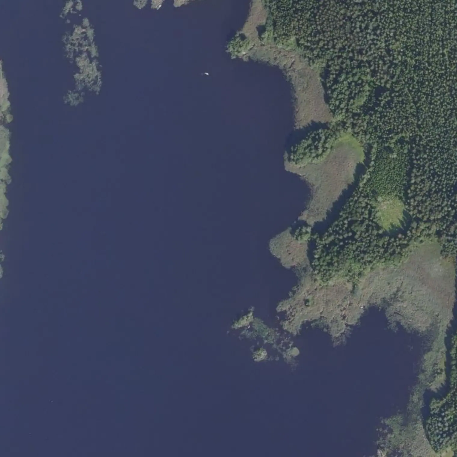
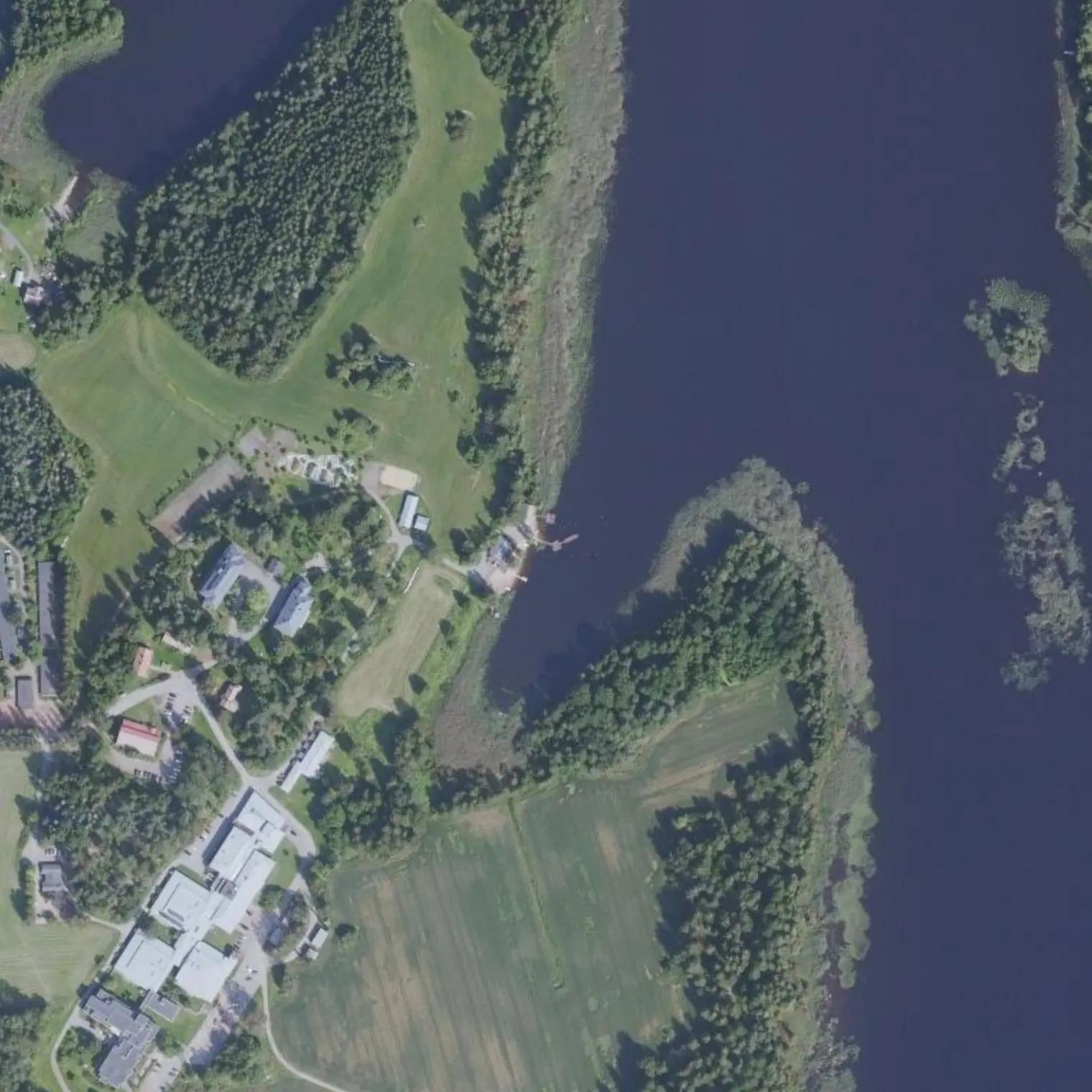
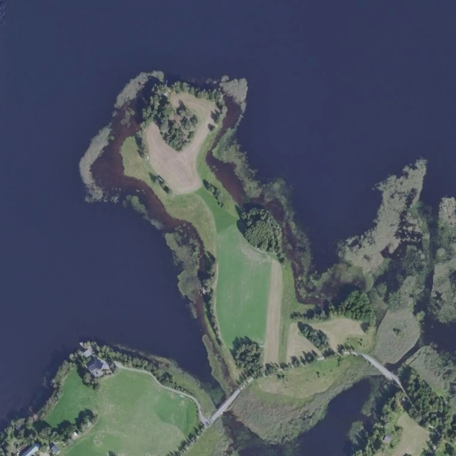
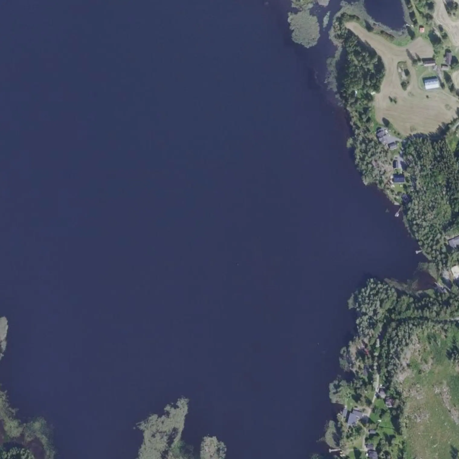
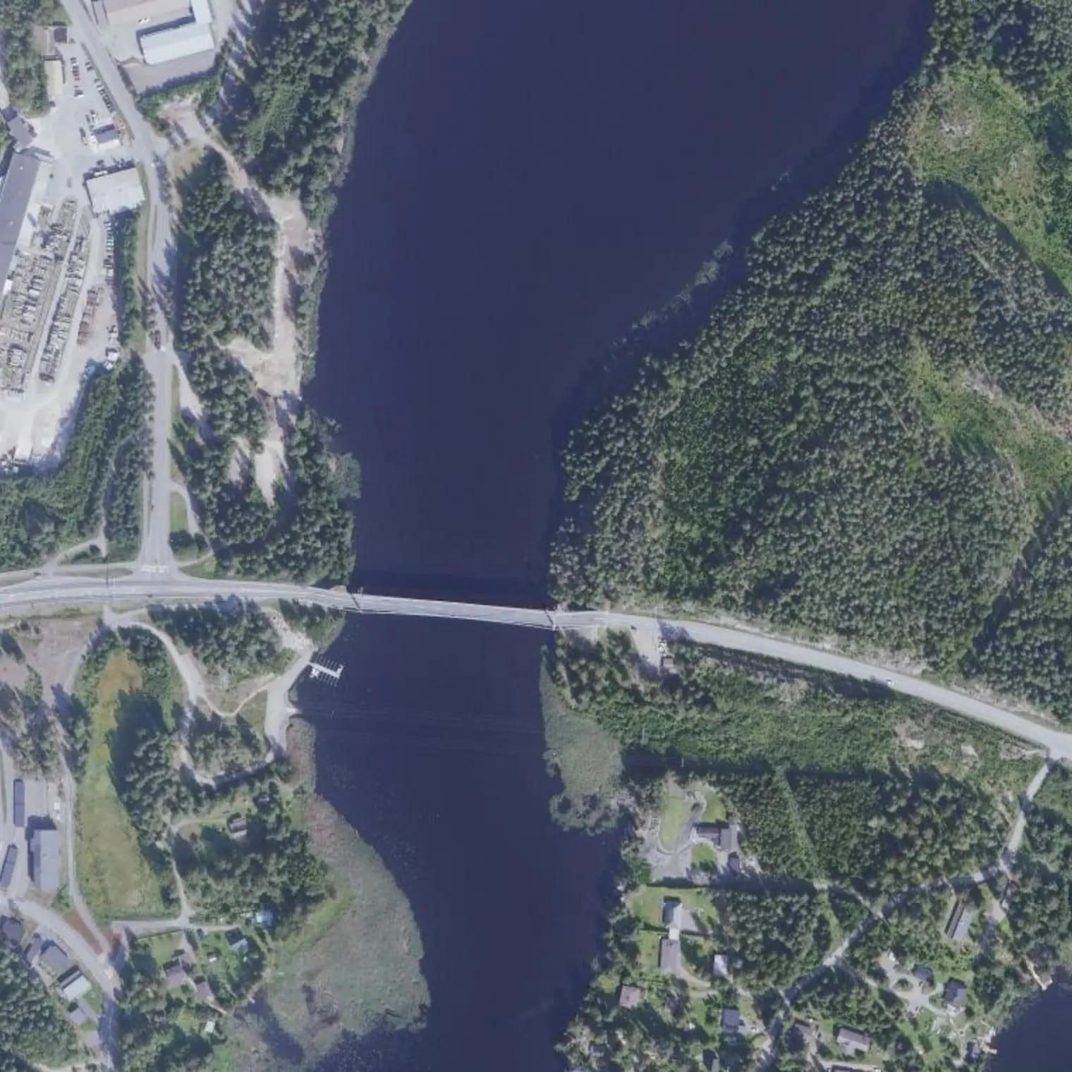
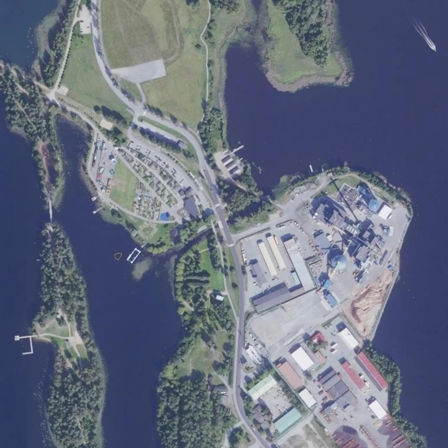
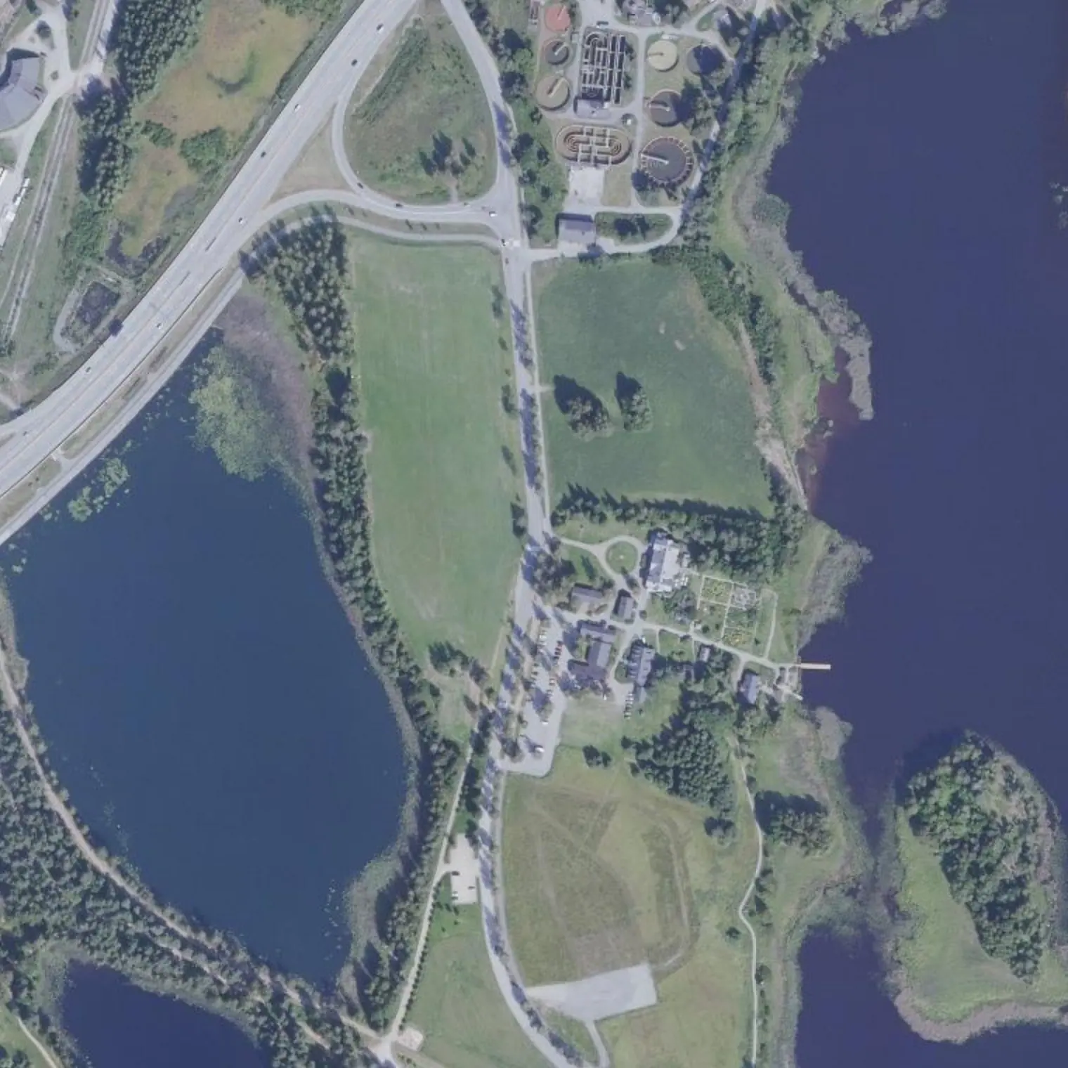
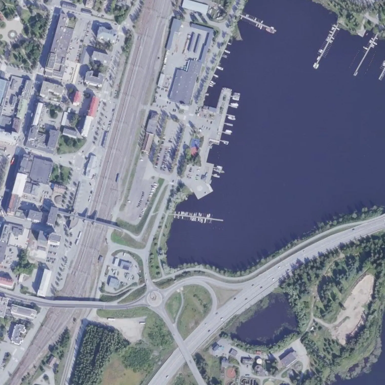
Viimeinen avovesi, Annilanselkä, ja sitten suojaavat saaret. 7,17 kilometriä jäljellä. Kaupunkiin tullaan Pursialankadun sillan alta salmesta, oikeaa reunaa pitkin.
Mikkelin sataman veneenlaskupaikka. Kaksisataaviisi metriä rautatieasemalle.
Reittivihkosta
Tulostetun reittivihkon kohteet siinä järjestyksessä kuin ne tulevat vastaan vedellä. Pitkät tekstit näytetään englanniksi.
1
km 73,36
Lähtö Kyyhkylästä: 7,2 km jäljellä
2.4 h of paddling. Short stage on purpose: today the clock on land rules, not the one on the water. Count the 1.1 km detour from the beach back to the track. If you are catching a train or a shower, work backwards from the time, not forwards from the start.
310 m after setting off, the bistro's jetty: 0.67 km of paddling from the track and ZERO walking — you tie up at the door —, i.e. 1.34 km there and back, a good half hour. Order at leisure: today there is time to spare. 213 m on foot, the Kyyhkylän kartano (32-room hotel, lakeside sauna, Ravintola Armas with kotiruokaa on weekdays), and 662 m away the Mikkeli line stop. ⚠ UNCONFIRMED: Rantakyyhky advertises itself as a SUMMER café and no source publishes when it closes; its website does not respond from home. One call to 044 020 3320 covers the bistro, Armas and the hotel — make it before you leave, not here.
Urban edge of the ringed seal's range: marginal presence, but the duty not to disturb applies all year. ≥200 m, steady course. It is your last chance to see one.
The trip's last stretch of open water. MEASURED with strict mask and effective fetch between km 74.9 and 78.4: maximum 1.2 km, from the S. Genuinely low exposure, but with wind keep close to the shore it is BLOWING FROM, windward: there the water is flat. After that it is urban shelter to the finish.
Shore laavu ~470 m from the track, E bank, 2.7 km from the finish. In LIPAS it belongs to the forestry college and is NOT listed as free to use; the neighbouring Salosaari laavu has a track with a barrier and key. It is good for getting out of the water and waiting — if you arrive with hours to spare for the train, this is a better place to wait than the ramp —, not for sleeping without asking.
VERY narrow neck (~10 m of water) through which you enter Savilahti. Nothing is crossed here: you PASS, one at a time. Look and listen before entering, go through in one go keeping to starboard and don't stop inside. In your favour, MEASURED: from here to the finish it is a 5 km/h zone with jet skis banned, so whatever comes, comes slowly. Past the bridge you are in the town.
Former parsonage at the water's edge (starboard), 774 m from the ramp: café and shop, from 14-Sep to 16-Nov Tue-Sat 10-16 and SUNDAY AND MONDAY CLOSED (lounas 11-15). Before it, 100 m from the water, the Kirkonvarkaus café (km 77.1) and RAVINTOLA GREENERI (km 78.9, 0.2 km round trip, Mon-Fri 11-14 · Sat 11-16 · Sun 12-16). In the background the Naisvuori observation tower (1911-12), 709 m from the finish: ⚠ ITS CAFÉ CLOSES ON 31 AUGUST — the tower stays, the café doesn't.
TRAIN: station 205 m from the ramp, 5 a day to Helsinki — the flexible terminal of the trip, which is why it is at the end. SHOWER: Naisvuoren uimahalli, Mon-Thu 14:15-20:00 and Fri 13:30-20:00, with early-morning swims Mon/Wed/Fri 06:00-08:15 (perfect before the 10:03 train). ⚠ SATURDAY CLOSED until 1 October and SUNDAY CLOSED: if you arrive at the weekend, there is no shower. Supermarket (S-market Stella / K-Supermarket) and pharmacy 5-10 min on foot.
9
km 80,53
Maali: Mikkelin sataman veneenlaskupaikka
Harbour ramp, Laiturikatu 4. 80.5 km from Savitaipale by packraft, solo: you carried round Kärnäkoski, crossed Yövesi, went through the two 1877 channels and saw Astuvansalmi. Onnittelut. And here is the beauty of doing it in this direction: EVERYTHING is within 800 m — station 205 m, Naisvuori lookout 709 m, Kenkävero 774 m, Päämajamuseo 799 m.
Seven stages, 80.5 km, one day less than the 2018 route because the Toijola peninsula is crossed through the inside. You held out against the wind on open water and respected the seal. Kiitos.
Poistumisreitit tielle
Mistä vedeltä pääsee pois, jos retki on keskeytettävä. Violetti: bussille pääsee kävellen; harmaa: vain tie, taksi tai liftaus.
S13
Pantalán en Kirkonvarkaudenkatu km 76,51
maihinnousu 338 m reitiltä, kanto tielle 276 m
BUS 0.6 km: Kirkonvarkaus (Mikkeli local line) (daily, weekend 3)
bistro WITH its own JETTY and beach, + kartano with hotel and Ravintola Armas 213 m on foot. It is ONE stop with TWO doors, and that matters because the doubtful one is the first.
THE SITE OPERATES IN SEPTEMBER (its own event dated 12.9.2026 at the kartano), but the BISTRO still has no published hours. Rantakyyhky is explicitly a KESÄKAHVILA (1.5.-15.6. Wed-Sun 12-18; from 16.6. daily) and NO source publishes when it closes; the only hours found outside its website are Sun-Thu 12-20 / Fri-Sat 12-22, which are high season. Ravintola Armas serves kotiruokaa arkisin in the hotel building: it is the candidate for being open.
044 020 3320 (el mismo que OSM da para el kartano) / 0400 517 442
Kirkonvarkauden kioski ja kahviovahvistamatta
km 77,14
kiosk-café by the Kirkonvarkaus bridge, right on the shore
kesäkahvila; OSM marks it seasonal=summer. No published hours.
Ravintola Greeneri (Mikkelipuisto)
km 78,9
restaurant 54 m from the track, 1.6 km before the finish
Mon-Fri 11-14 · Sat 11-16 · Sun 12-16 (weekend buffet)
010 764 2460
Kenkävero
km 79,8
the former parsonage: restaurant, café, bakery and shop
14.9.-16.11.2026 Tue-Sat 10-16, SU JA MA SULJETTU (Sunday and Monday closed). Lounas 11-15. The shop, Mon-Fri 10-18 and Sat-Sun 10-16.
015 162 230
Mikkeli (meta)
km 80,53
Satama Cafe & Bistro and the Toivo pub right at the ramp; the centre 1.2 km away
—
Matkan varrella
Trincheras de Turponniemikm 78,49 — 30-53 m away (also at km 78.66): dug into living rock in the First World War, ~100 m long and 1-2 m deep