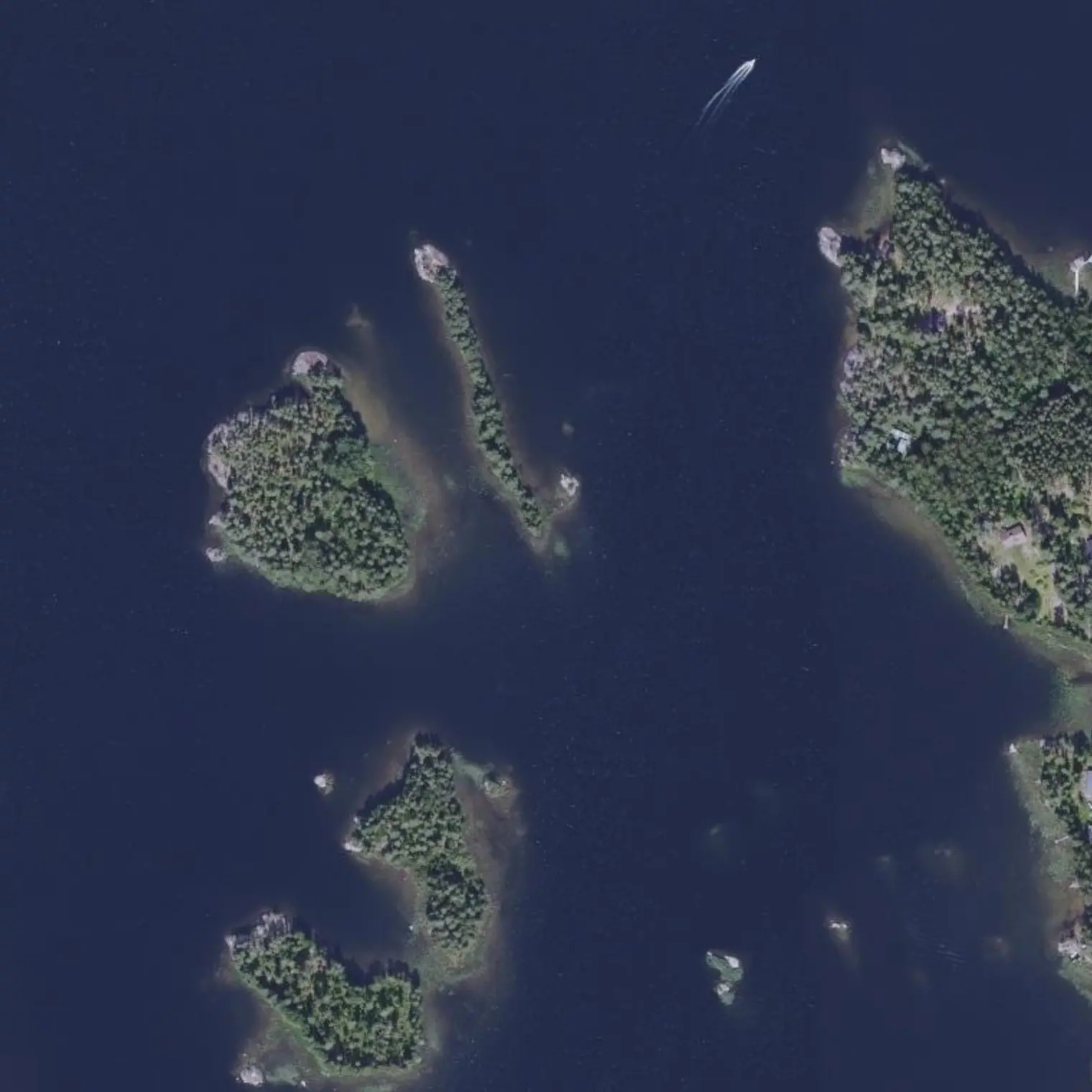
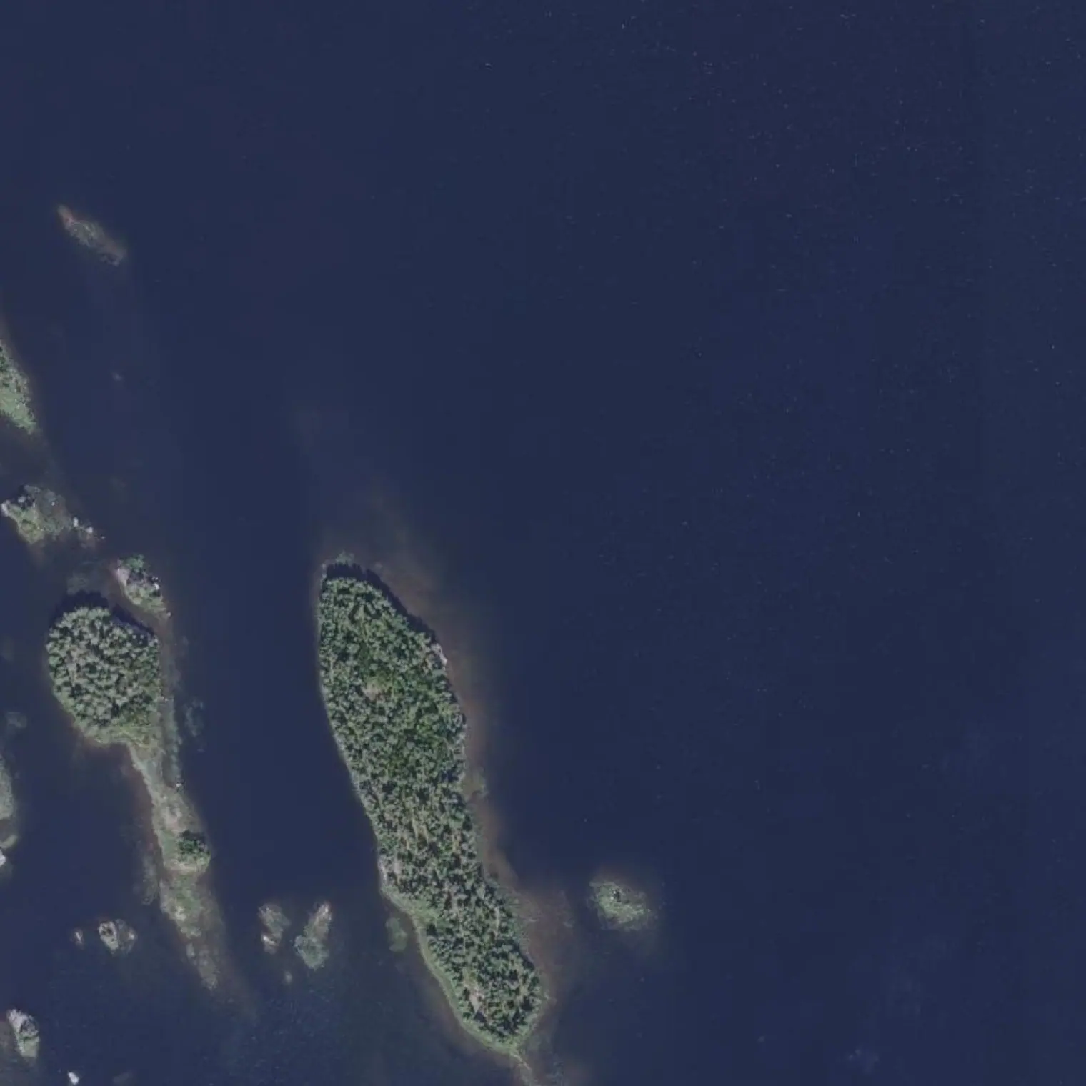
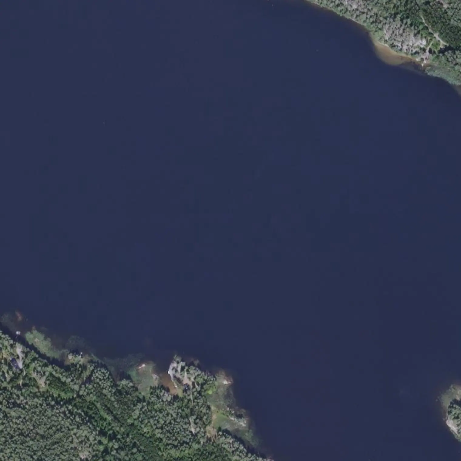
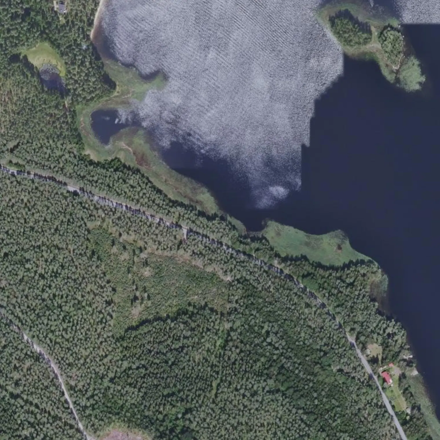
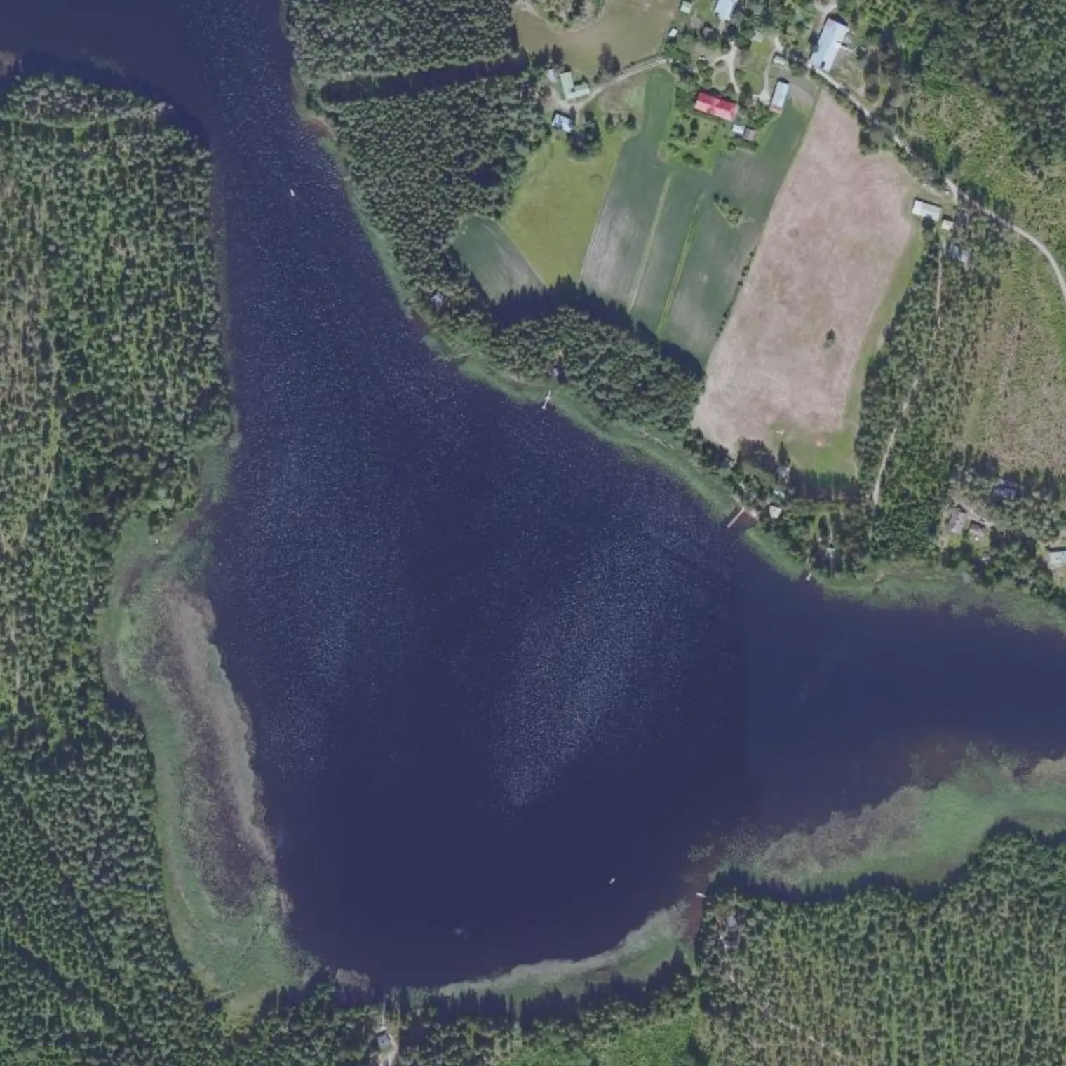
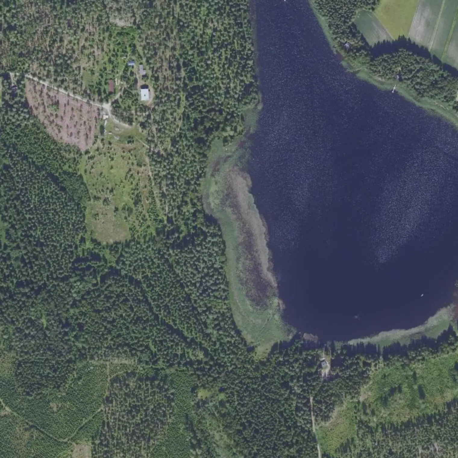
Lyhyt etappi, 9,22 kilometriä, ja päivän avovesi Louhiveden keskellä. Tässä kulkee norpan todellinen pohjoisraja. Ja jossain tällä järvellä tehdään retken tärkein päätös: jatketaanko vai käännytäänkö takaisin.
Reittivihkosta
Tulostetun reittivihkon kohteet siinä järjestyksessä kuin ne tulevat vastaan vedellä. Pitkät tekstit näytetään englanniksi.
1
km 50,21
Lähtö: lyhyt etappi
9.2 km, 3.1 h of paddling: the shortest of the seven and the trip's safety valve. You cross the central ulappa of Louhivesi, which is the day's only open section, and reach the gateway to Ukonvesi. If the forecast looks bad, today you can wait until midday and set off later; if it looks good, stretch on to Löydö and tomorrow reach Ristiina early in the morning.
Here is the real northern edge of the ringed seal's range. Few individuals and each one critical: ≥200-250 m, low speed, steady course, do not paddle straight towards it.
Open E-W section (km 51.9-54.9). MEASURED with strict mask and effective fetch over km 51.9-55.9: prevailing S/SE/SW up to 1.4 km and maximum from ANY sector 1.9 km, from the E — i.e. ~0.22 m of wave at 10 m/s. Low-to-medium risk; there are islands nearby for cover. Weigh the forecast before crossing and hop from island to island using their lee to break the fetch: it is the anti-wind tactic for this whole basin. And from km 54.4 you are not alone: the Puumala-Mikkeli fairway comes in (VL3, 3.0 m swept depth), the one used by passenger boats and tows. You have it under you for almost 2 km, until 61.3.
Mid-stage and no official campsite in 14 km: if the day goes wrong, wild camp on a larger island or in a cove under the right of public access. ⚠ THIS POINT FALLS INSIDE THE CHANNEL used by passenger boats (measured on the Väylä data): the coordinate marks the STRETCH of shore, not the spot, and here keeping away from the line is not a preference but the condition. Look for a shore in the lee, OUTSIDE the channel, a good 150 m from any roof and without a Metsähallitus sign. Lake water, treated. Fire only with a stove.
Strait joining Louhivesi with Ukonvesi: you leave greater Saimaa and enter the system that leads to Mikkeli. Decision point and shelter. With wind, this is a good place to wait.
Shore derived on real coastline (OSM): 263 m from the track, land to the south and the nearest house 264 m away. You sleep HERE and not at Löydö, 2.1 km further on, for one reason: Löydö is a municipal beach with houses alongside — a place to stop, not to camp. That way tomorrow you reach the shopping first thing. Fire only with a stove.
64.5 km. Tomorrow, 2 km from here, RISTIINA: the only real shop since Savitaipale, 66 km back. Make the list tonight and count the shopping time within the stage, which is a good 3 h if you go on foot. And check the Löytö bus timetable before going to sleep.
Poistumisreitit tielle
Mistä vedeltä pääsee pois, jos retki on keskeytettävä. Violetti: bussille pääsee kävellen; harmaa: vain tie, taksi tai liftaus.
S7
Salida a carretera local (Hirsiniemi) km 48,3
maihinnousu 54 m reitiltä, kanto tielle 51 m
TAXI: stop 17 km away
S8
Salida a Pirttipohjantie (Laasola) km 52,73
maihinnousu 188 m reitiltä, kanto tielle 105 m
TAXI: stop 10 km away
S9
Pantalán en 4323 km 57,73
maihinnousu 219 m reitiltä, kanto tielle 436 m
BUS 5.0 km ON FOOT Ristiina th (vt. 13) E (11:25 northbound) (no Tue, Wed or Sat)