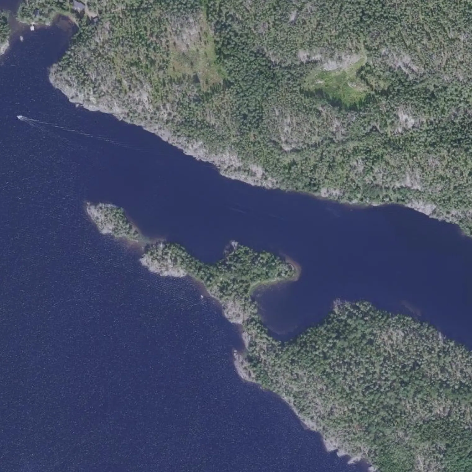
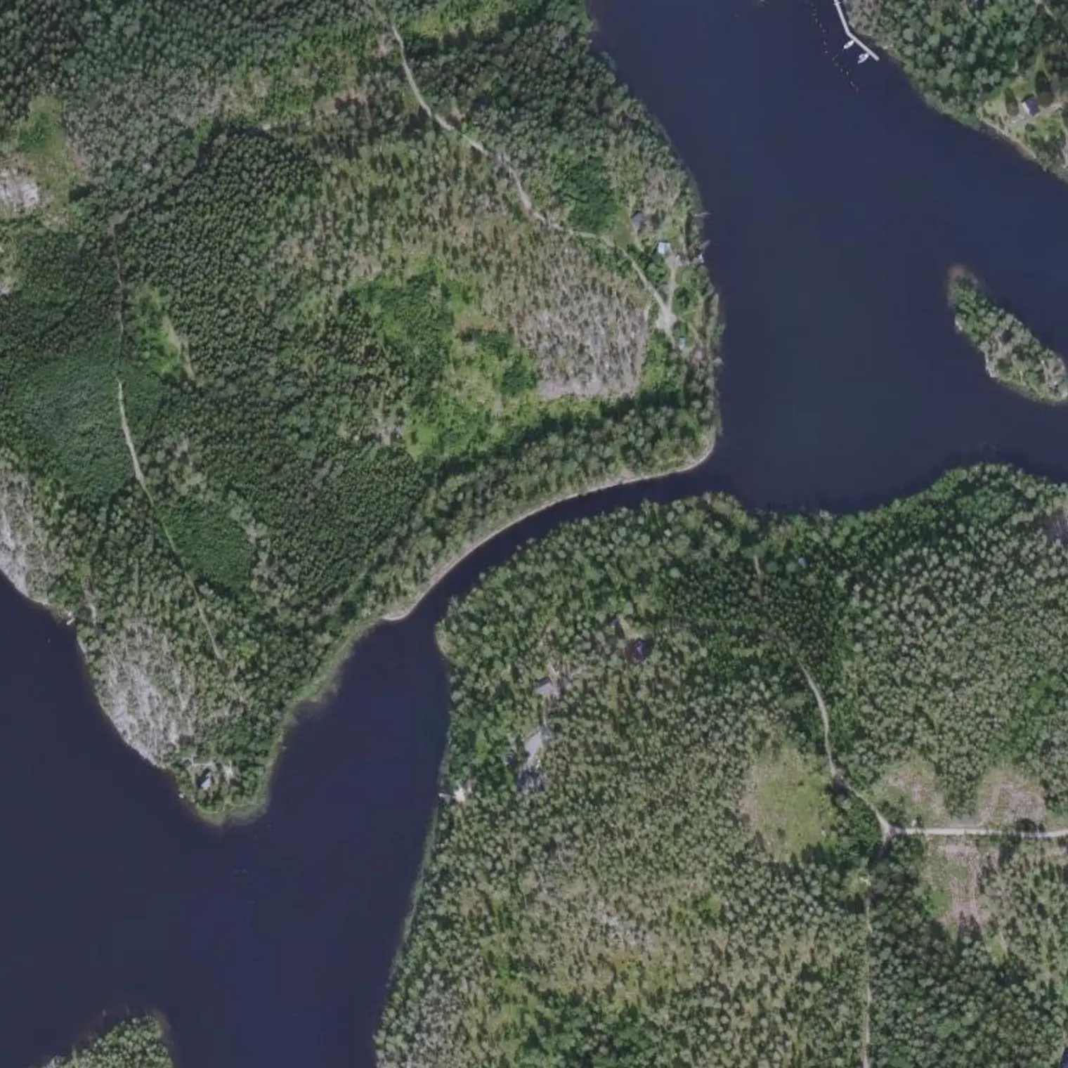
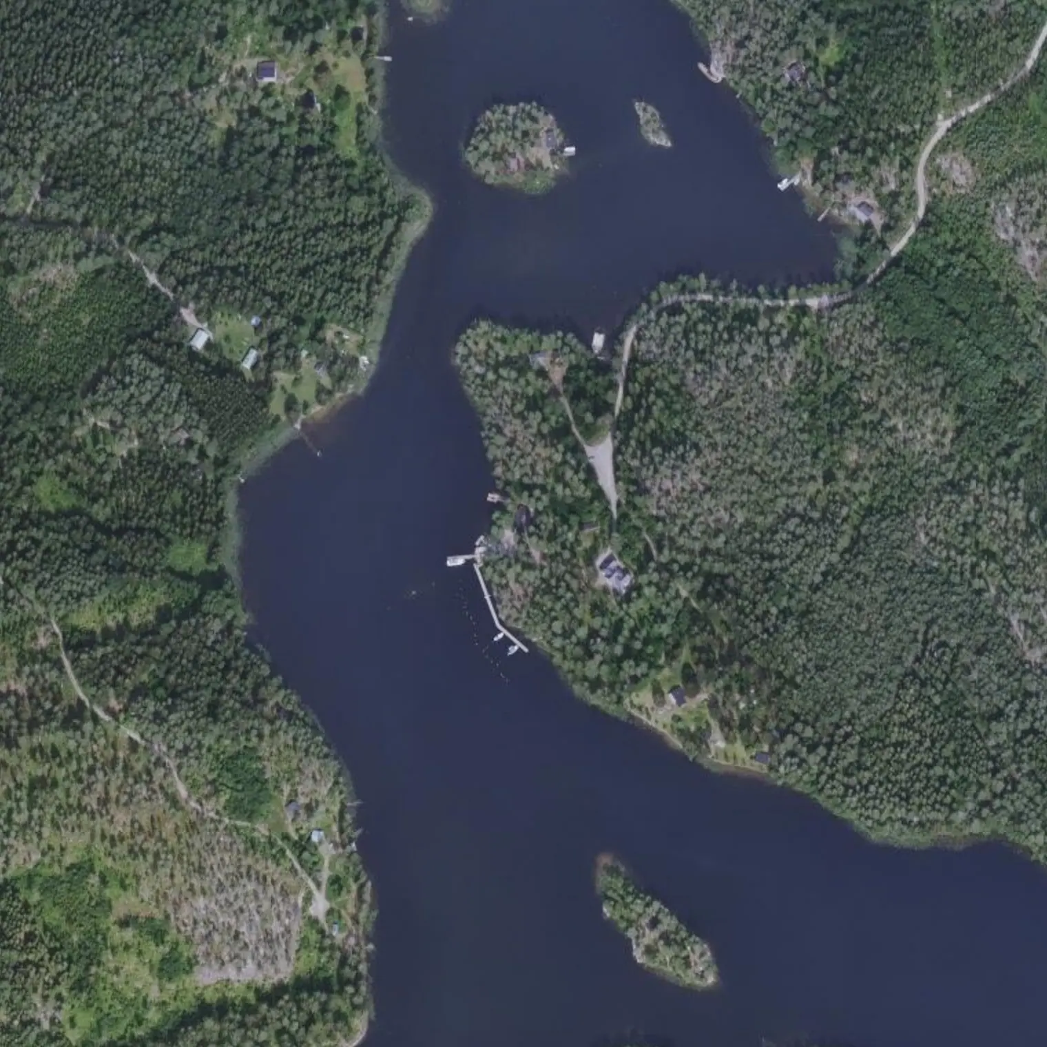
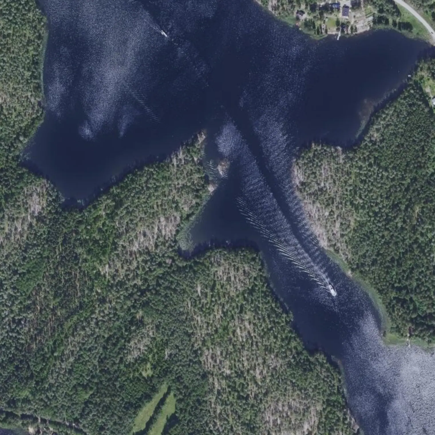
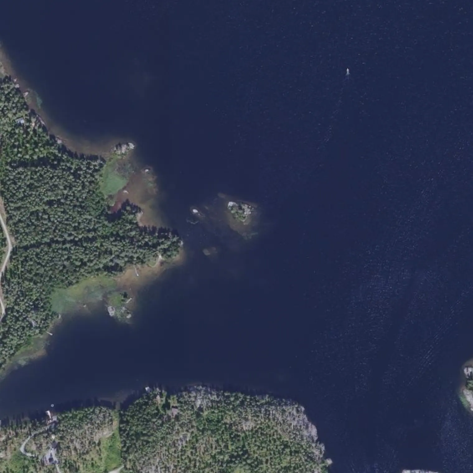
Astuvansalmi: noin viisituhatta vuotta vanhoja kalliomaalauksia, jotka maalattiin vedestä käsin, kun järvi oli useita metrejä korkeammalla. Vanha jälki ohitti ne yhdeksän kilometrin päästä; nyt reitti kulkee yhdentoista metrin päästä niiden laiturista.
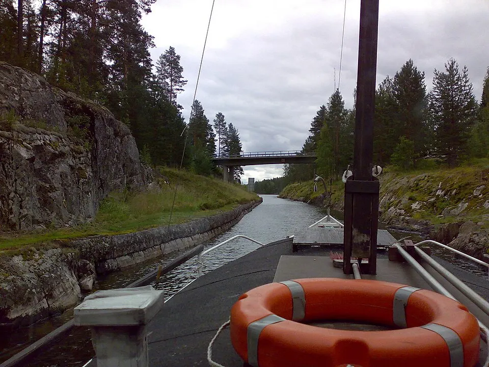
Ja Toijolan sisäreitti: Varkaantaipale ja Kirkkotaipale, kaivettu vuosina 1874–77. Nopeusrajoitus ja aallokon aiheuttamisen kielto. Osuus, joka säästää kokonaisen etapin, osoittautui koko retken parhaiten suojatuksi.
Reittivihkosta
Tulostetun reittivihkon kohteet siinä järjestyksessä kuin ne tulevat vastaan vedellä. Pitkät tekstit näytetään englanniksi.
1
km 39,17
Lähtö: Astuvansalmi 700 metrin päässä
11.0 km, 3.7 h of paddling: the stage gets shorter after two long days. And it starts strong — 700 m away is ASTUVANSALMI, the largest rock-art site in Finland, with a jetty 11 m from the line. Then you cross the Toijola peninsula THROUGH THE INSIDE, via the two channels blasted out in 1874-77: there is no open water there, it is 5-15 km/h and making wash is forbidden. It is the most legally protected section of the crossing.
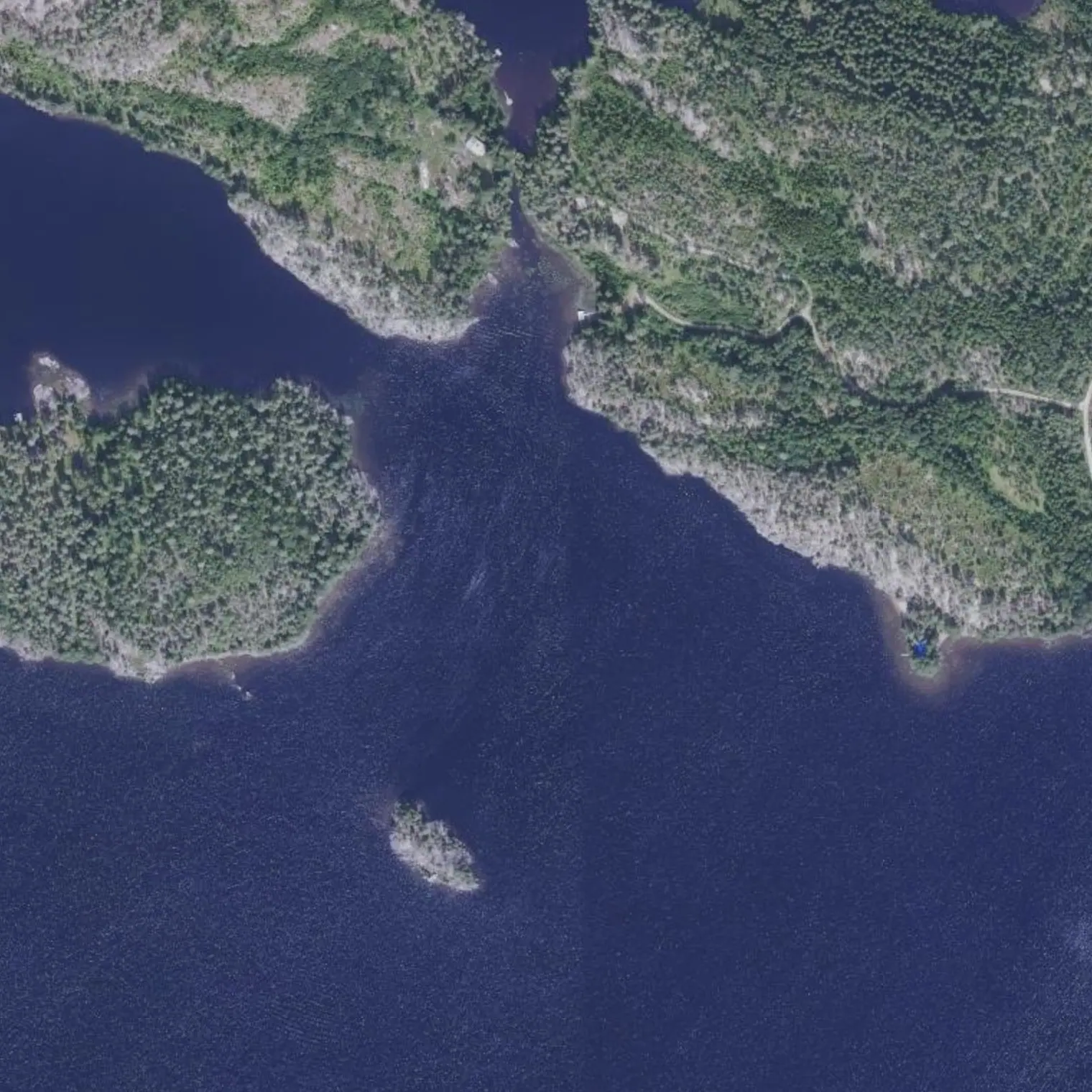
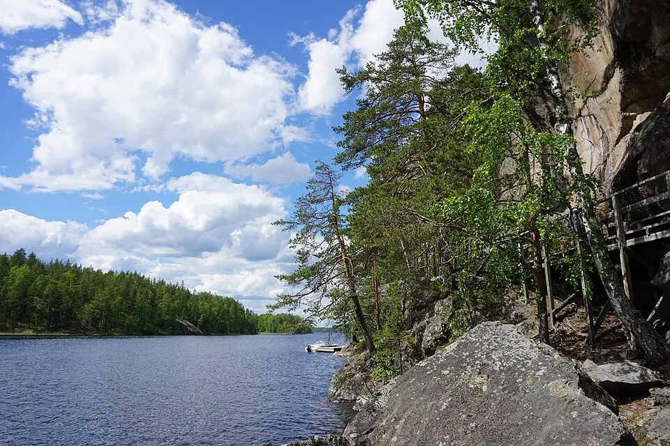
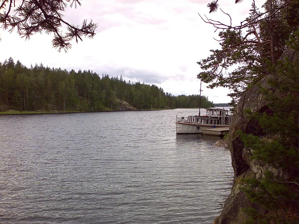
Largest Nordic rock-painting site: 65-80 figures in red ochre — elk, humans, boats, an archer — on a vertical wall of ~15 m, 4,500-6,000 years old. Seen in profile the rock resembles a face (“woman's head”), a place of offerings. The old notebook rightly considered it impossible: from the former corridor it was 18-19 km there and back, a whole day. This route passes RIGHT BY IT: JETTY AND LATRINE (field observation from 2026). DO NOT TOUCH THE WALL. Archaeologically protected site: you look, you photograph and you don't camp.
700 m W of the paintings, a small sandy beach with NUOTIOKIVET (fire ring) and a good landing: it is the place for the day's long stop. The field record warns that next to the rock-art panel there is no room to rest — the space is here. The only recorded landing in the 13 km of Yövesi.
Toijolan sisäreitti: vuosien 1874–77 kaksi kanavaa
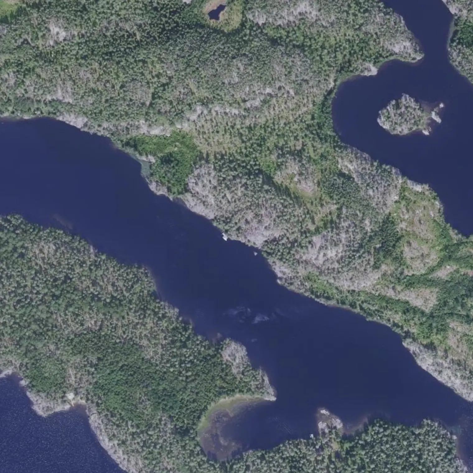
KIRKKOTAIPALE (km 43.2): 200 m, 7.1 m wide, 1.7 draught. VARKAANTAIPALE (km 46.0), the big one: 416 m, 8.9 m AT THE BOTTOM, 1.9 draught, blasted through the rock, no lock, and a road bridge with 8 m clearance. Both are VENEVÄYLÄ — official marked fairway, 5 km/h zone — and the RIB Saimaa THREE-CHANNEL CRUISE passes through both, still in season in September: a FAST boat in a seven-metre cut. Look before entering, keep right, go through in one go and don't dawdle. Stopping for a moment IS allowed (782/2019, if you are not in the way), but NOT under the bridge or tying up to anything in the channel, and swimming is prohibited. IN YOUR FAVOUR: the whole passage is at 5-15 km/h and on 3.3 of its 3.9 km MAKING WASH IS PROHIBITED — the most legally protected section of the crossing. At the north mouth of the big one, on the left, the MUSEUM SWING BRIDGE with its panel (Saimaa Geopark): land among the reeds on the shore of the old station. The restaurant in the old petrol station CLOSED ON 29-AUG.
Harbour between the two channels, 102 m from the line. ⚠ CLOSED: its website says so twice and with the year written, «AVAAMME JÄLLEEN KESÄLLÄ 2027». No restaurant, no sauna, no fuel — and NO WC EITHER, because it opens “according to our hours”. It is no longer the hot shower this notebook promised. The JETTY remains: you can tie up and land, and Toijola village is 1.3 km away. There is nobody here to ask for help, and it is one of the day's two exits: from S5 and S6 no bus leaves within 6 km.
Between Kirkkotaipale and Varkaantaipale, in the most protected water of the 80.5 km: if the day's wind is impossible, you stop here and nothing happens. Shore derived on real coastline, with land to the south. From here it is 500 m to Varkaantaipale and 4.8 km to the end of the stage.
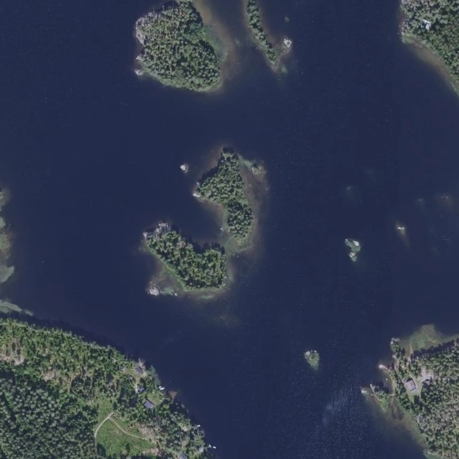
Leaving the channel you enter Louhivesi and the continuous shelter of the last two days ends. The islet at the mouth is a 1,400 m² rock with rental cabins 140 m away: it is good for nothing but orientation. From here on, island-hopping tactics.
DERIVED point on real shoreline: land to the south, nearest house 277 m away and 277 m of detour from the line. Already past the north mouth of Varkaantaipale, i.e. outside the channel's shelter: choose a cove, not a point, since here the S wind already has room to run. In September, ROCK OR AN OPEN POINT RATHER THAN A REEDY COVE. Fire only with a stove.
11.0 km, and 50.2 of 80.5. Today you have seen Astuvansalmi and crossed Toijola through the inside, which is the shortcut that takes a whole day off the 2018 route. Tomorrow is the shortest stage of the trip, 9.2 km: if the morning forecast is bad, THIS is the day that can be sacrificed without touching the train home.
Poistumisreitit tielle
Mistä vedeltä pääsee pois, jos retki on keskeytettävä. Violetti: bussille pääsee kävellen; harmaa: vain tie, taksi tai liftaus.
S5
Rampa Himalansaaren veneluiska en Rantaharjuntie km 38,36
maihinnousu 479 m reitiltä, kanto tielle 2 m
TAXI: stop 16 km away
S6
Puerto Kallioniemi de Toijola km 43,4
maihinnousu 33 m reitiltä, kanto tielle 50 m
TAXI: stop 19 km away
Vapaaehtoiset sivuretket
X3
Hollankirkko: jyrkänne kanavan yllä km 46,68 · 1,6 km edestakaisin
Lookout and nature reserve on a rocky escarpment, next to the Käräjäkallio protected area, 486 m from the line on the W side of the canal's north mouth. THE VARKAANTAIPALE CANAL IS NO LONGER AN EXCURSION: since August 2026 the corridor GOES THROUGH IT (Stage 5, km 51.0), with its museum swing bridge and panel. What remains here as a detour is only the escarpment: 800 m of water and half a kilometre on foot from the visitors' pier at the fairway's old station. That station's restaurant is SUMMER-ONLY (1-Jun to 29-Aug): closed during the trip window.
Hollankirkko is only in OSM: there is no descriptive source at all (no Geopark, no municipality, no Retkipaikka). It is not known what exactly can be seen. Low priority.
Missä syödä
Kallioniemisuljettu syyskuussa
km 43,76
harbour with restaurant, terrace, sauna for hire (49 €/h), WC and marine fuel
CLOSED UNTIL SUMMER 2027. Its website says so twice and WITH THE YEAR WRITTEN — «AURINKOTERASSI: AVAAMME JÄLLEEN KESÄLLÄ 2027 / HUVILAN RAVINTOLA: AVAAMME JÄLLEEN KESÄLLÄ 2027»—, and also «Wc tilat käytössä aukioloaikojemme mukaisesti»: with the business closed, NO WC EITHER. The jetty remains, not the rest.
050 470 4675
Varkaantaipalesuljettu syyskuussa
km 45,96
kesäravintola in the fairway's old station, next to the 1877 canal
CLOSED UNTIL MAY 2027. Season 1.6.-29.8.2026 (Mon-Thu and Sun 10-20, Fri and Sat 10-22), and its website already announces the closure with the year written: «Kiitos kesäkaudesta 2026 … Avaamme jälleen toukokuussa 2027».