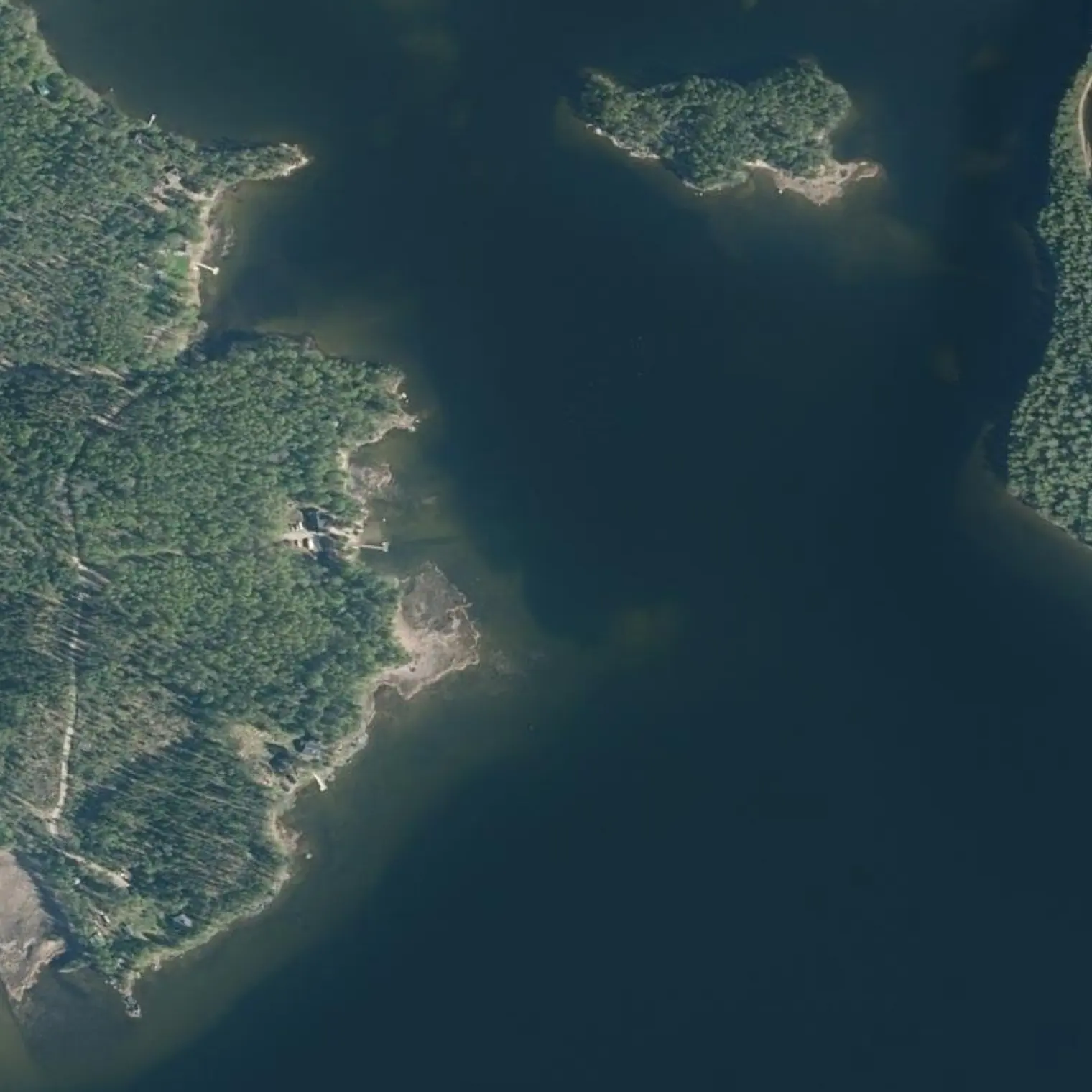
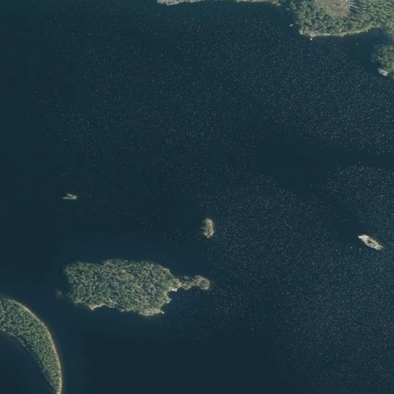
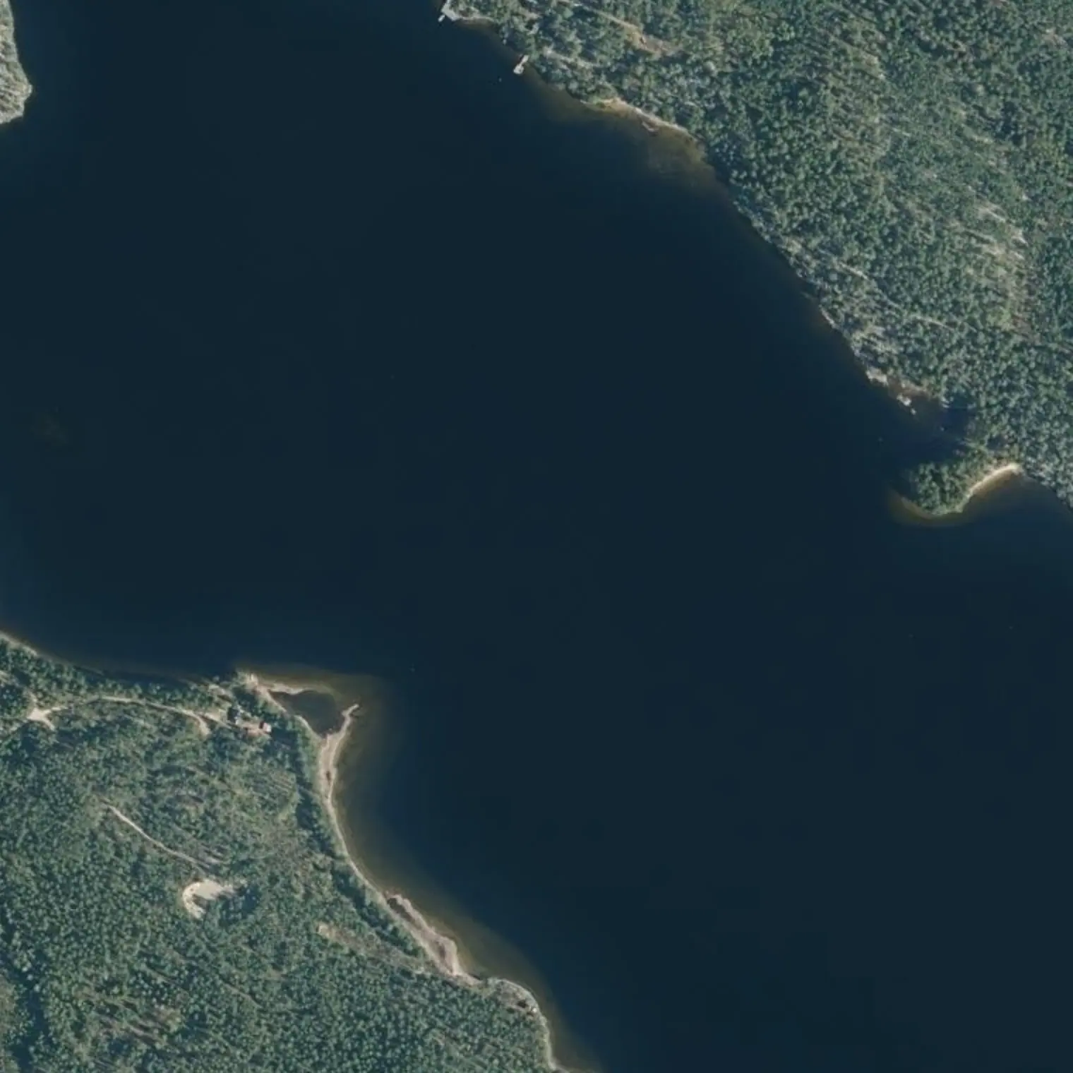
Pisin etappi, 16,56 kilometriä. Tämä on norpan ydinaluetta, ja kahdesti reitti kulkee Ristiinan kauppamerenkulun väylän sisällä: neljän metrin kulkusyvyys ja jopa kilometrin mittaiset tukkilautat. Ne liikkuvat alle kahden kilometrin tuntivauhtia. Niitä ei odoteta; ne ohitetaan.
Vuonna 1789, Ruotsin ja Venäjän sodan aikana, tämä salmi suljettiin sululla. Sitten tullaan Yövedelle, joka on avoin mutta vähemmän kuin näyttää, ja yövytään sen rannalla.
Reittivihkosta
Tulostetun reittivihkon kohteet siinä järjestyksessä kuin ne tulevat vastaan vedellä. Pitkät tekstit näytetään englanniksi.
1
km 22,61
Lähtö: pisin etappi
16.6 km, 5.5 h of paddling at 3 km/h: it is the longest day of the seven and the one that decides whether the trip is comfortable or tight. Set off early, eat on the water and don't stop to eat ashore if the wind is light — today a kilometre is cheap and tomorrow it may not be. You cross the labyrinth and come out into Yövesi along the shipping channel. Not a single service all day.
This whole section is core habitat of the Saimaa ringed seal. ≥200-250 m, steady course, do not pursue. Shores almost without buildings: it is one of the sections with the highest chance of an encounter on the whole crossing. A packraft is silent — you may come upon one without warning.
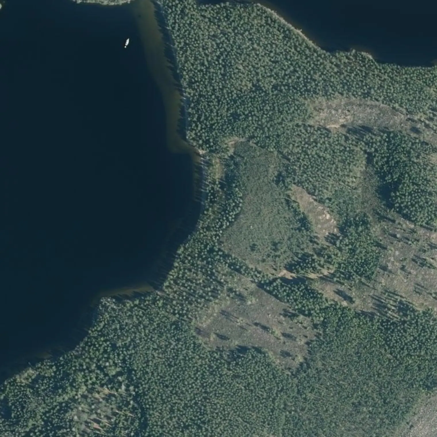
Not next to the deep channel: INSIDE it. MEASURED on the Väylä data, the corridor enters the area of the Kyläniemi-Ristiina fairway (design draught 4.2 m, swept depth 5.2 m) at km 26.4-29.8 (3.4 km) and again at 35.1-38.7 (3.6 km IN A ROW, the longest section of the 80.5 km). And you don't cross it: you run along it. You are between 245 m and HALF A METRE from the AXIS — it is right UNDER you at km 26.5-27.0, at 28.5-28.7 and at 37.1-37.8: that is where you must move aside. LOOK BEHIND every few minutes and have decided which shore you will head for; a packraft cannot be seen from the bridge and gives no radar echo. TIMBER TOWS heading for the Pellos mill, in full season: the convoy is UP TO 1 KM long and moves at ~2 km/h, that is SLOWER THAN YOU — you don't wait for it to pass, YOU OVERTAKE IT, and that is 30 min alongside it. Between tug and raft there are 300-450 m of cable: NEVER cross behind a tug. They sail day and night seven days a week and listen on VHF 16 and 9.
The last kilometres of the day are paddled inside a military blockade from the war of Gustav III (1788-1790). A few metres from the water: a submerged jetty where a gunboat was moored, the barrier of stone-filled log cribs that blocked the passage from Kynäsaari to Vekarsalo and, on Vekarsalo itself, the MALLASLINNOITUS — an L-shaped earthwork of 35 m and an iron chain across the strait, with an information panel. You sleep inside a frontier.
Halfway through the long stage, and it is the place to cut the day short if the wind forces you: shore derived on real coastline, with land to the south. Above it, the Mallaslinnoitus — one of the earthwork fortifications of the 1789 blockade, the same line as the submerged barriers in the strait. If you stop here, tomorrow there are 8.8 km left to the stage-3 camp and the following day gets longer.
IF YOU BAIL OUT TODAY, THE WAY OUT IS WEST: Ristiina
Today's two road exits (S5 and S6) are GREY: they leave you on a track with the useful stop 19-21 km away. The only one you can get out of ON YOUR OWN is paddling west along Yövesi to Ristiina — food, shops, bus to Mikkeli and to the vt13 —: MEASURED, 22.2 km from here and 19.4 from the mouth of the channel, i.e. 6.5-7.4 h. It is a whole day: it is decided IN THE MORNING. And NOT by the shortest route, which runs 7.7 km INSIDE the log-raft channel and doesn't cross it, it runs along it; keeping 100 m clear of the area costs 1.1 km and you only touch 264 m of it, in two nearly perpendicular crossings.
6
km 34,43
Yövesi: avoin, mutta vähemmän kuin näyttää
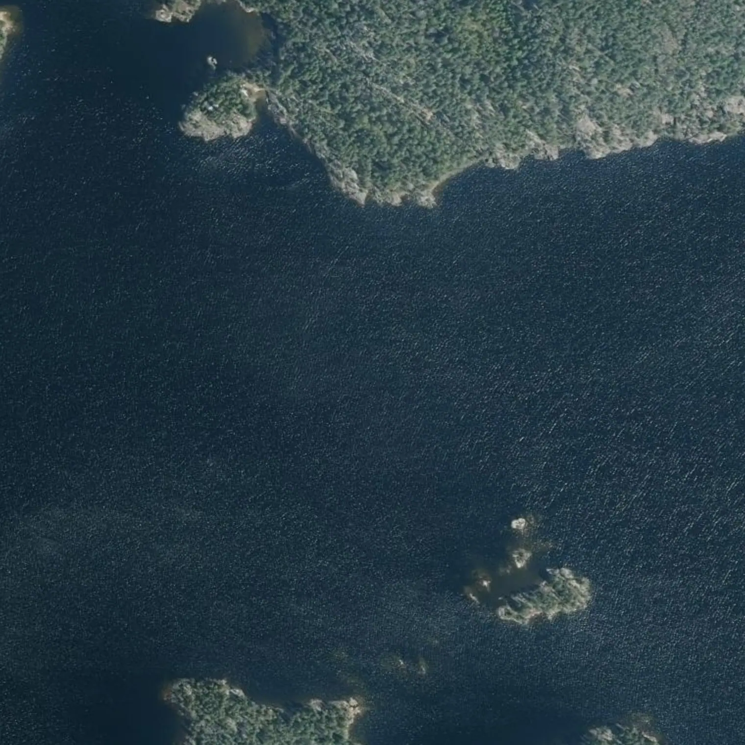
The most open section of the stage. MEASURED on a strict water surface, EFFECTIVE fetch of the prevailing sector (S/SE/SW, ±45° fan): median 0.9 km and MAXIMUM 2.0 km — against 1.6 km on the old corridor this replaces. At 10 m/s that is ~0.23 m of wave against ~0.20: the difference between the two routes is THREE CENTIMETRES. The day this one can't be paddled, the other can't either. Condition: go INSIDE the chain of islands, and that way you are never more than 311 m from land for the whole stage. Outside, in a straight line, you get 523 m from land and gain nothing.
DERIVED point on real shoreline, seen by nobody: land to the south, nearest house 367 m away and 498 m of detour from the line — the most out-of-the-way of the seven nights, so count 20 min to get there and the same again tomorrow. PLAN B, and a good one: ASTUVA, 1.3 km further north, a little sandy beach with a fire pit and the only recorded landing in the 13 km of Yövesi (mobiHiisi, field observation from 2026); if you arrive with light and energy, stretch on to there and tomorrow you start at Astuvansalmi. Fire only with a stove except at Astuva.
16.6 km. 39.2 of 80.5: past halfway in three days, which is exactly what loading the weight into stages 2 and 3 was meant to achieve. From here on the days drop below 14 km and the notebook stops racing the clock. Tomorrow, Astuvansalmi 700 m after setting off and the Toijola passage through the inside.
Poistumisreitit tielle
Mistä vedeltä pääsee pois, jos retki on keskeytettävä. Violetti: bussille pääsee kävellen; harmaa: vain tie, taksi tai liftaus.