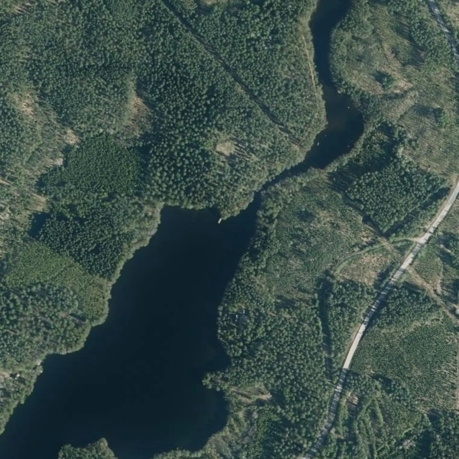
Kanto: sata kuusi metriä vedestä veteen, myllyn ja Suvorovin vuonna 1793 rakennuttaman linnoituksen välissä, kun tässä kulki Ruotsin ja Venäjän raja. Muutaman kilometrin päässä ovat vuoden 1914 venäläiset juoksuhaudat, louhittu paljaaseen kallioon.
Sitten alkaa labyrintti: suojaisia salmia saarten välissä, eikä yhtään palvelua viiteentoista kilometriin. Päivän lopussa tulee koko reitin avoimin vesi, ja siinä päätetään, ylitetäänkö vai odotetaanko.
Reittivihkosta
Tulostetun reittivihkon kohteet siinä järjestyksessä kuin ne tulevat vastaan vedellä. Pitkät tekstit näytetään englanniksi.
1
km 7,45
Laavulta lähtö: tänään vaihdetaan järveä
15.2 km, 5.1 h of paddling at 3 km/h: the first of the two long stages, and it starts with the carry. 550 m away is the outflow and, past the carry, you are in Saimaa and don't go back to Kuolimo. Tie down everything you don't want to see floating BEFORE setting off: there is no room in the channel to rearrange anything. And do it early — the carry is short but unloading, loading and re-trimming takes longer than it looks the first time.
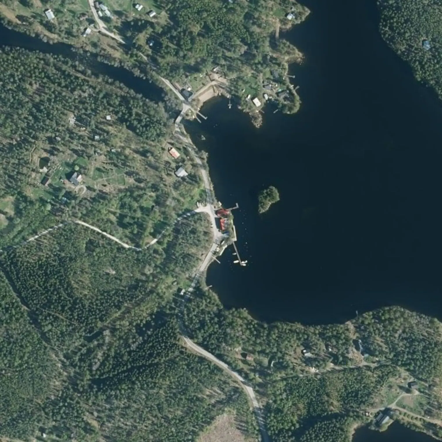
GET OUT ON THE LEFT BANK, JUST BEFORE THE BRIDGE of road 409, which can be seen from afar and is 8 m from the last navigable water. Below it are 106 m of rapid that drop 1.1 m in one go — six to nine times steeper than Partakoski, which spreads the same over almost a kilometre. YOU DO NOT PADDLE OR LINE IT DOWN: you carry. The site is well served: PARKING, PICNIC TABLE, LATRINE AND INFO PANEL within 150 m, and the Kärnäkoski mill alongside. It is 106 m from water to water in a straight line and 211 m door to door via the 409 and the unpaved service track that runs past the mill. Re-embark at Siikalahti, already in Saimaa; if the landing below doesn't convince you, 250 m further W is the FORT JETTY. ⚠ You are going downstream: don't overshoot the bridge.
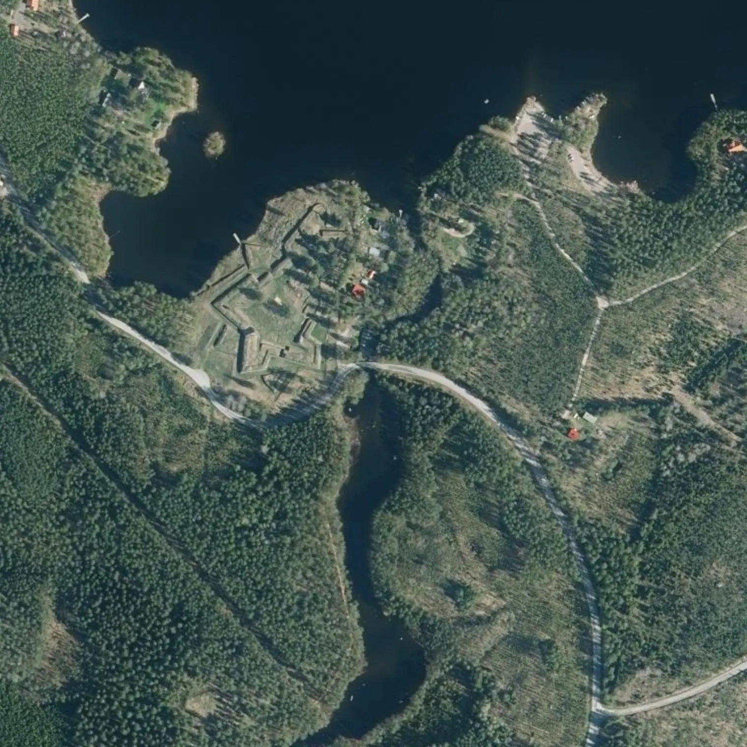
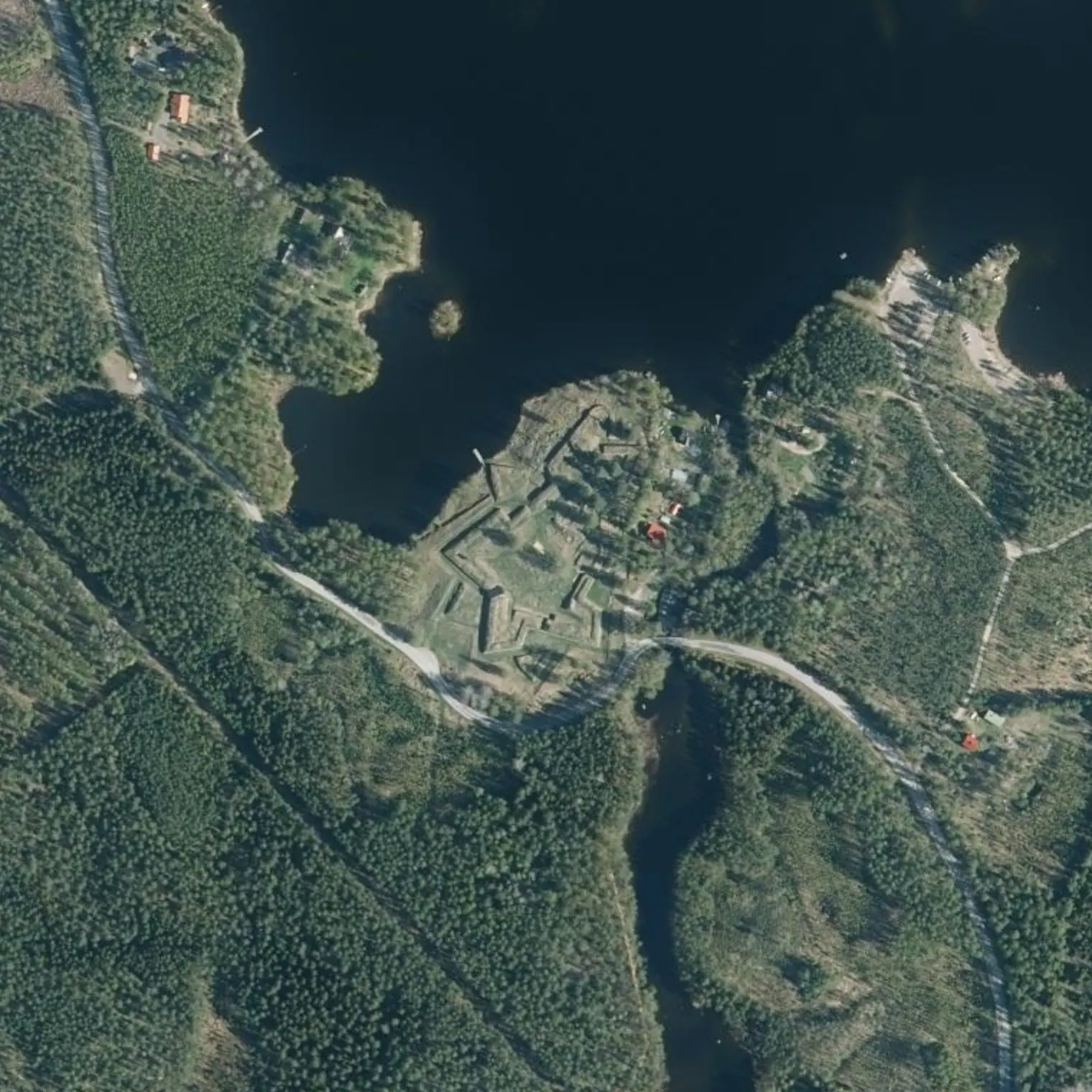
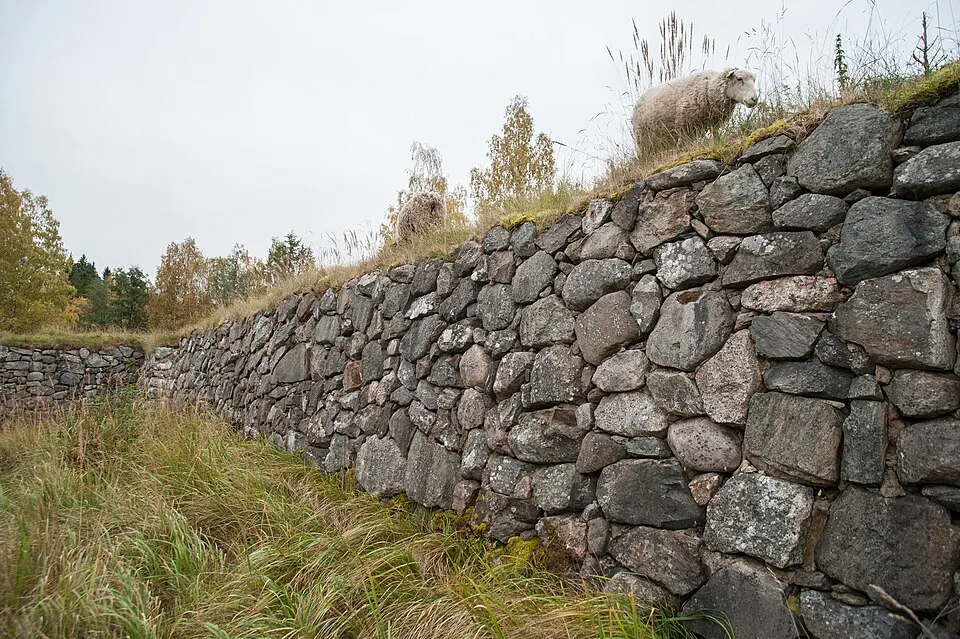
The carry goes RIGHT THROUGH the site. Russian bastioned fortress completed in 1793, promoted by Suvorov as part of the St Petersburg defence belt: 220 x 150 m, up to 55 firing positions, built with boulders gathered from the ground rather than quarried stone. Free entry, always open; in summer sheep graze inside and dogs are not allowed. At its foot, the Kärnäkoski mill and sawmill (free, 24/7) and, 500 m to the S along the path, the hilltop redoubt. If the wind won't let you continue, this is a decent place to wait: there is a roof at the laavu behind.
To port, 285 m from the line (0.57 km there and back): ramp and jetty 15 m from road 409, village 100 m away, harbour sheltered from all winds. PARTARANTA (050 309 0851) publishes AUTUMN HOURS: Tue-Thu 11-20, Fri-Sat 11-22, Sun 11-20, and MONDAY CLOSED — restaurant, sauna, mooring and fuel. Its building burned down in April 2024 and today it is a modular unit. ⚠ IF TODAY IS MONDAY, IT IS CLOSED: that is why you have dinner here LAST NIGHT, walking from the laavu. It is NOT a grocery shop: 52 km remain to Ristiina (km 61.2). WC open 24/7 and a water point, although a boater in Jul-2025 could not connect a hose: fill up with a jerrycan. It is also escape exit S1.
Kotkatsaari ja Turponniemi: vuoden 1914 juoksuhaudat
137 m from the water on Kotkatsaari and another just like it at Turponniemi (km 13.9, to starboard, 30-50 m away): a good hundred metres of trench blasted into the living rock, with machine-gun emplacements, to control this very passage. It is the line the Russians built in 1914-17 from Ristiina to Säkkijärvi along the west shore of Saimaa; here it was left half-finished, with the blasted-out stone piled up as a parapet.
Narrow channels between the islands that give shelter, alternating with open selkä. Use the inter-island passages (-salmi) when the ulappa is not navigable: there is almost always a line on the inside that avoids the crossing.
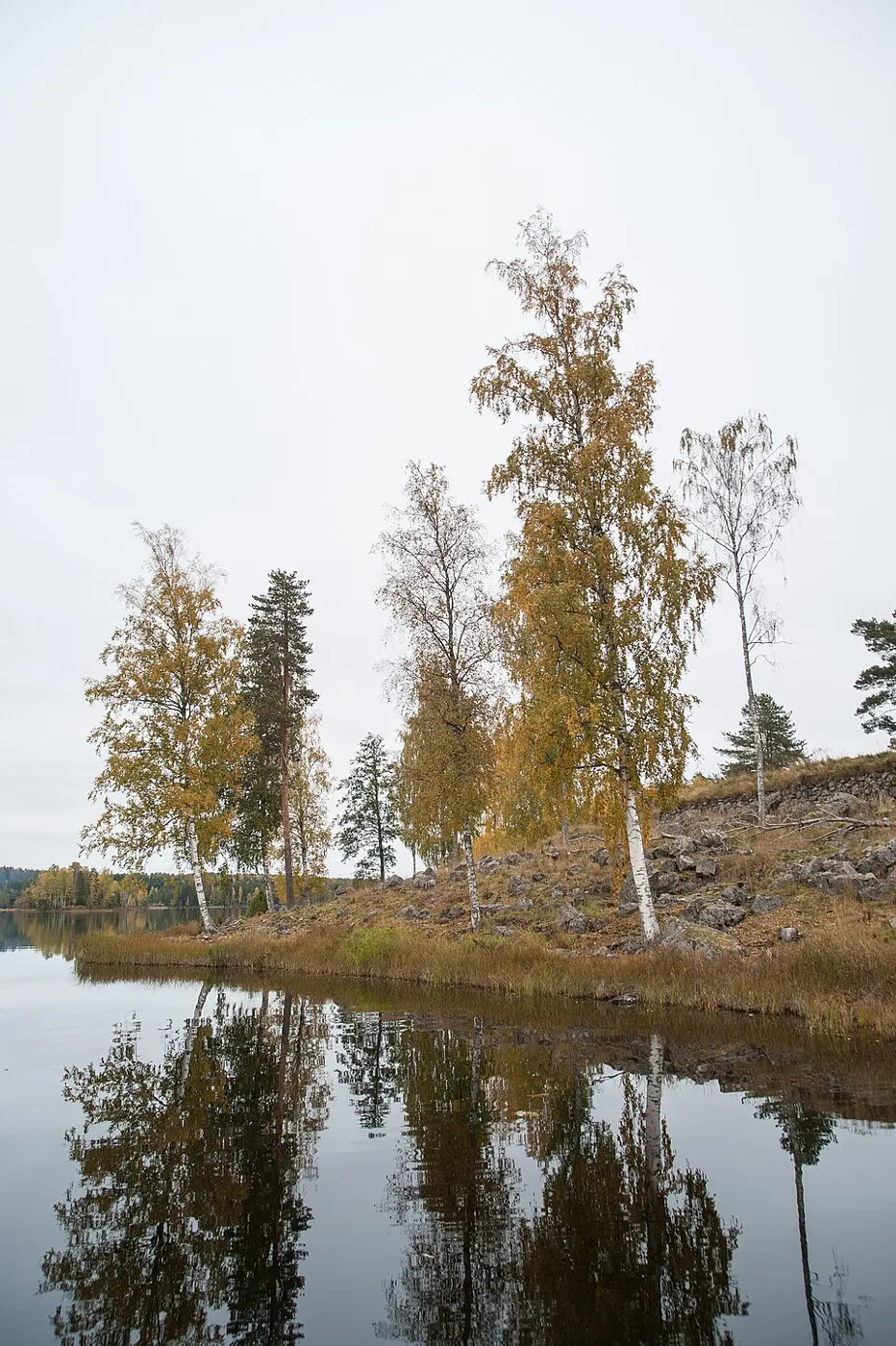
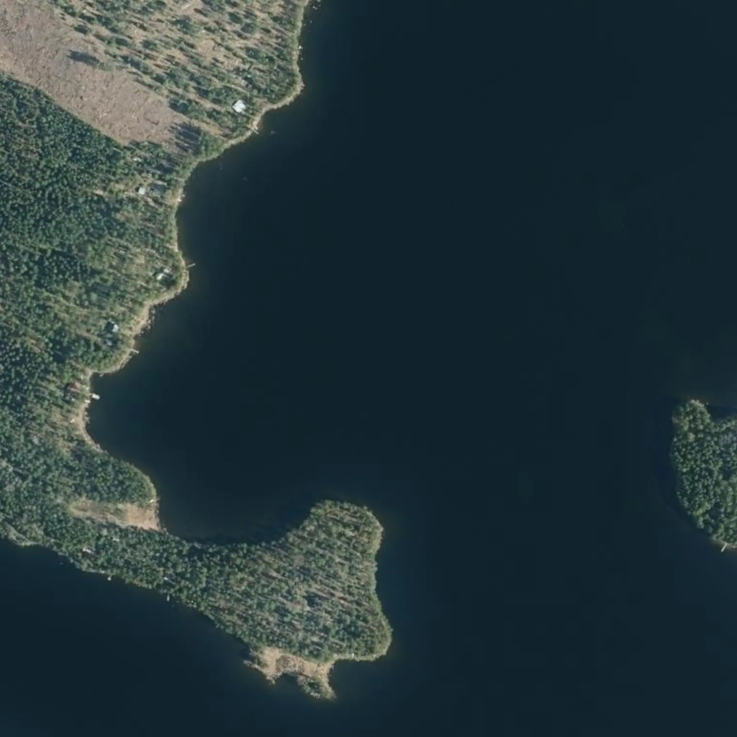
NE point of Kiukkaansaari, wild camp under the right of public access; the coordinate marks the STRETCH of shore, not the spot. It serves as plan B if the wind cuts the day short, but KNOW THIS: the point is open to the whole southern quadrant and is the most exposed sleeping place on the corridor. Real shelter only from SW to NW. If it is blowing from the south, go round to the W side of the island or tuck into the Kiukkaansalmi, 300 m away. The nearest building is a hut 190 m away.
MEASURED (strict mask, effective fetch): maximum 2.6 km, and it comes from the S and SE — to the E it is 1.8-2.3. It is the biggest of the 80.5 km, but only just: 2.5 on the first day. With wind from the S or SE, keep close to the islands or wait; past km 22.9 it drops below 1 km. And here escaping means phoning: the nearest useful bus stop is 21-27 km away.
The coordinate is a DERIVED point on real shoreline, not a place anyone has seen: it comes from the OSM coastline with the notebook's three criteria — land to the SOUTH (shelter from the prevailing wind), nearest house 208 m away (the right of public access does not cover a mökki's garden) and 400 m of detour from the line. The labyrinth has islands to spare: if it doesn't convince you on arrival, pick another. In September, ROCK OR AN OPEN POINT RATHER THAN A REEDY COVE — the low shore with rushes is exactly where a duck hide goes, and the criterion for a good camp and for a good hunting hide are the same. PLAN B WITH A ROOF: Palosensaari (X1), fire pit and latrine, ROCKY shore and getting the gear out is hard work. Fire only with a stove.
15.2 km, 5.1 h of paddling at 3 km/h: the first long stage and you have already done 22.6 of the 80.5. From the water here to Mikkeli, EVERYTHING that can happen depends on the wind, not the water: in the 80.5 km there is not a single current left. Tomorrow is the LONGEST stage of the trip, 16.6 km to Yövesi: set off early and check the forecast before breaking camp. Ration: the next real shop is at km 61.2.
Poistumisreitit tielle
Mistä vedeltä pääsee pois, jos retki on keskeytettävä. Violetti: bussille pääsee kävellen; harmaa: vain tie, taksi tai liftaus.
S1
Rampa de Partakoski km 9,3
maihinnousu 279 m reitiltä, kanto tielle 15 m
TAXI: stop 11 km away
Vapaaehtoiset sivuretket
X1
Palosensaari: Eitosalmen ja Sorvasalmen labyrintti km 16,65 · 8,95 km edestakaisin
The only one on the list that is the paddle itself: leave the track at Jussinsalmi and head NW linking straits (Eitosalmi, Aitosaari, Sorvasalmi) up to Kukkoluodonselkä. Island with nuotiopaikka and käymälä.
X2
Rannuusinsalmi: vuoden 1789 sulku veden alla km 22,56 · 2,16 km edestakaisin
SECOND barrier of the 1789 blockade, 7.6 km north of the Kynäsaari-Vekarsalo one, which you pass at the end of the stage: it is not the same one. Two barriers in the same strait: three stone-filled log cribs (about 3 x 7 m, 30 m in a row) and another eight of similar size reaching about 60 m out from the shore, sunk like a dam to make the passage impassable for large ships. They rise to just over a metre below the surface. Probably built in 1789 on the ice; dendrochronology, fellings from 1750-1790.
military barrier visible underwater, a stone's throw from the track
It is both an attraction and a SHOAL: the structure rises to 1-1.5 m below the surface and emerges when Saimaa drops. It is not known whether in September it will be visible or just a shoal. Approach slowly and without leading with the hull.
Missä syödä
Camping Hiekkalahtivahvistamatta
km 11,47
campsite on Kuolimo, before the rapids
—
Ravintola Partaranta
km 9,18
restaurant, sauna, jetty and fuel. The ONLY safe hot food in the first 64 km
AUTUMN: Tue-Thu 11-20 · Fri 11-22 · Sat 11-22 · Sun 11-20. MONDAY CLOSED.
050 309 0851
Ruhtinaanmäen Kahvilasuljettu syyskuussa
km 9,25
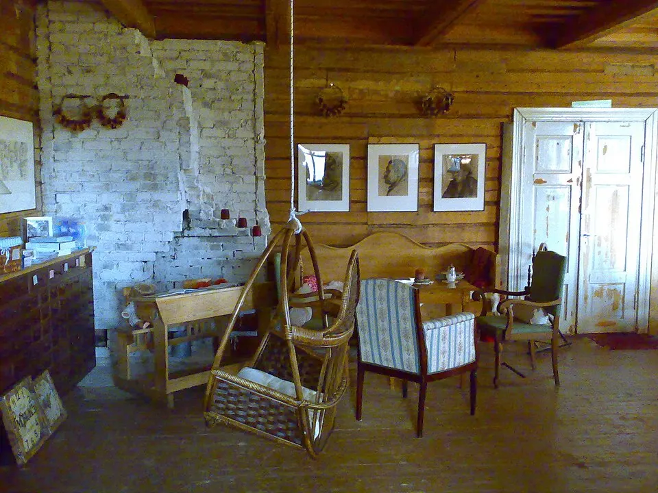
summer café with a farm school at Prince Baryatinsky's villa, 280 m from Partaranta