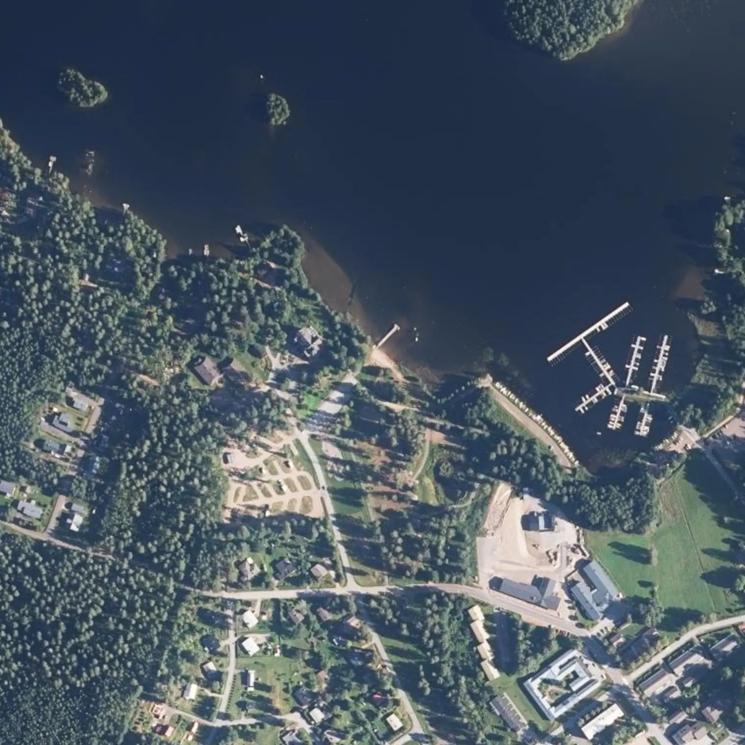
Savitaipale tarkoittaa savista taivalta: täällä veneitä vedettiin järveltä toiselle kauan ennen meitä. Se on viimeinen kauppa kuuteen päivään, joten kaikki syötävä lähtee tältä rannalta.
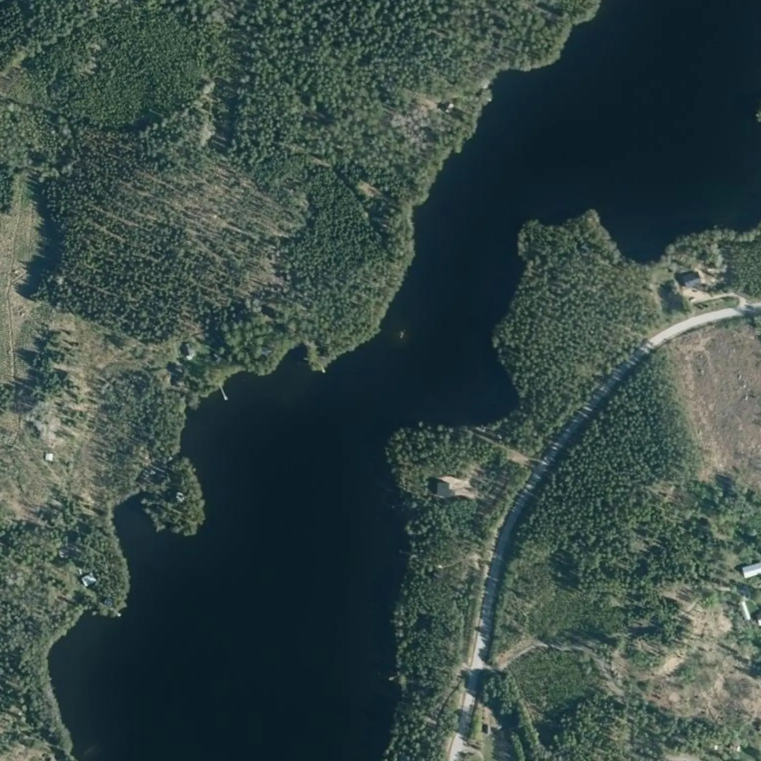
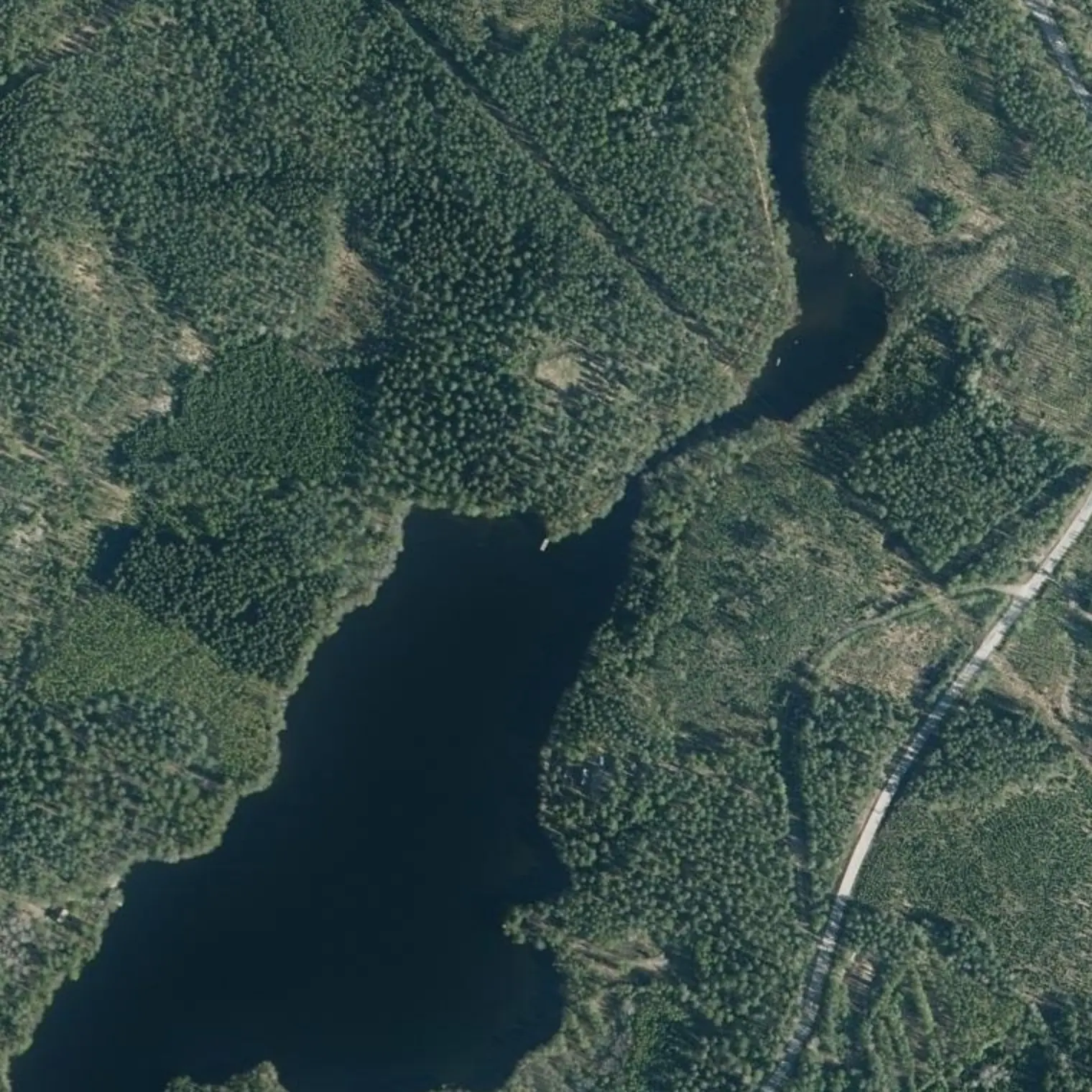
Ensimmäinen päivä on tarkoituksella lyhyt: tänne tullaan bussilla, ja vene pitää vielä koota. Reitti seuraa itärantaa ja välttää Isoselän avoimen ylityksen. Se päättyy seitsemänsadan metrin uoman suulle, jota kukaan ei ollut dokumentoinut.
Reittivihkosta
Tulostetun reittivihkon kohteet siinä järjestyksessä kuin ne tulevat vastaan vedellä. Pitkät tekstit näytetään englanniksi.
1
km 0
Lähtö: Olkkolan ranta, Savitaipale
Public beach with a laavu, jetty and pier. From the centre to the water is ~700 m: count them with the boat and the load on your back. Assemble and trim right here. SAVITAIPALE MEANS “THE CLAY PORTAGE” — the start is named after a boat haul between Saimaa and Kuolimo, and tomorrow you will make one of 106 m across the same isthmus. Short stage on purpose: today you arrive by bus or taxi and set off late.
K-Market and S-market, pharmacy and Alko ~700 m from the beach. THIS IS THE LOAD FOR THE WHOLE CROSSING: until RISTIINA (km 61.2) there is no other real shop, and it falls 2 km after STARTING stage 6: that is SIX days of paddling. Leave with SEVEN days of food. What lies in between does not count: Partaranta is a restaurant, not a shop, and Kallioniemi and Varkaantaipale closed on 29-Aug until 2027. GAS does not travel by plane or train: buy it in Helsinki the day before. WHERE TO SLEEP THE NIGHT BEFORE: OLKKOLAN HOVI, 240 m from the water (050 5555 862) — hotel, caravans and four saunas ALL YEAR ROUND; the restaurant only Thu 11-19 and Fri-Sat 11-21, closed Mon, Tue, Wed and Sun. With it closed, the village is 581 m away: K-Market (Mon-Sat 7-21, Sun 10-20) and Sahrami.
2
km 1,09
Lepänkanto, ensimmäisen päivän varasuunnitelma
Recreation area with a beach 2.93 km to the W by water, to port and CROSSING. If the boat is not behaving or the wind won't let you head up, this is where you get out: Myllylammentie comes within 65 m of the beach and it is 5.4 km by road to Savitaipale. The only place on the first day you can leave by road without depending on anyone — but crossing costs the very Isoselkä you are sparing yourself today.
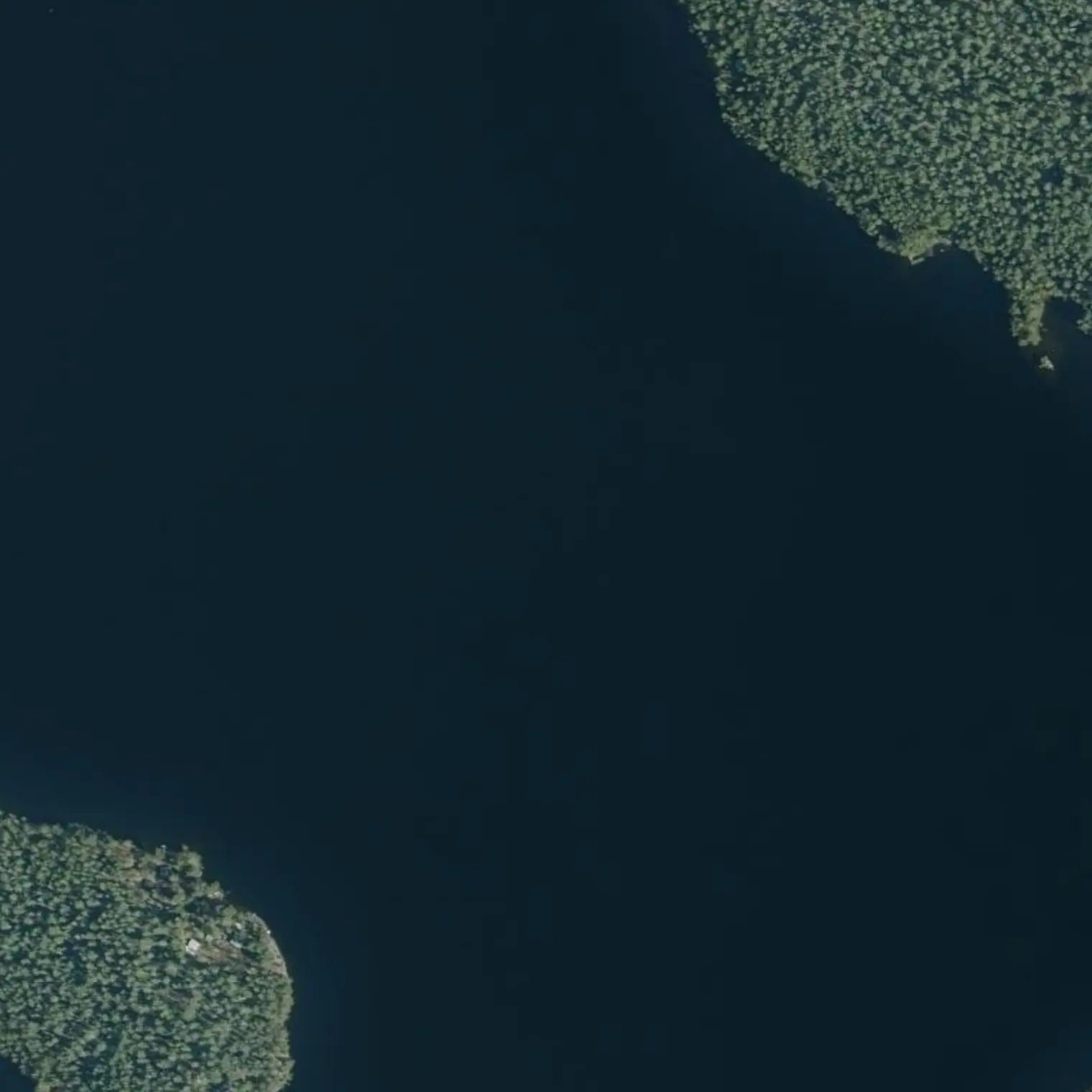
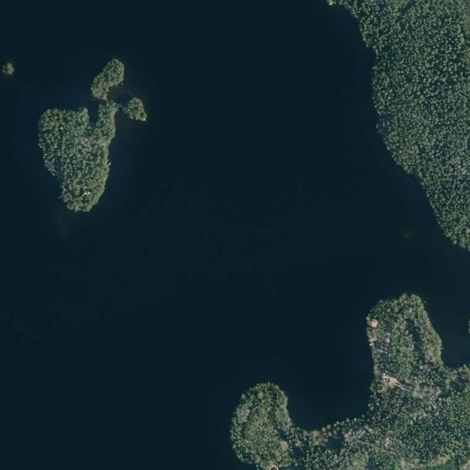
The first two kilometres open the bay onto the big lake. With the prevailing S/SE wind you set off with it ASTERN — comfortable, but it is also the wind that stops you coming back: if the boat is not well trimmed, fix it HERE, while the shore is 200 m away. From here the corridor does NOT cross: it heads north hugging the EAST shore, past Paassalo and Junnonlahti.
The 2018 route crossed the main body of Kuolimo here: 2.5 km of effective fetch from the SW, on the day the boat is heaviest. Along the east shore you do NOT exceed 0.95 km at any point (MEASURED with a strict mask and effective fetch, z10 and z11: maximum 0.91/0.95 km). It is water enclosed by islands and peninsulas: the S wind still pushes but no longer raises a sea. Still, watch out for gusts as you pass each opening.
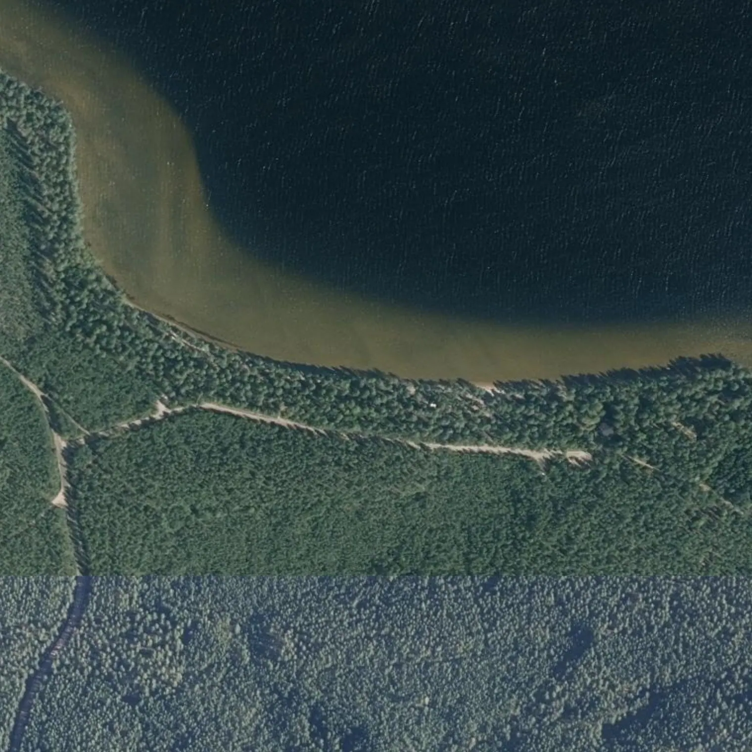
Here you leave Raimlahti and enter the channel that leads to the outflow: 700 m of narrow water, 12-30 m wide MEASURED at 1 m/px, with loose rock marked on the chart and vegetation on the E bank. NOBODY WE KNOW OF HAS PADDLED IT — the paddling database (mobiHiisi) lists Kärnänkoski as an obstacle and literally says «Miten ohitetaan ?», “how do you get round it?”. IT IS THE ONLY UNVERIFIED SECTION OF THE 80.5 KM. With the low lake of September there may be less water than the map shows. IF IT DOES NOT GO, you don't have to turn back: land at the Lotjasatama jetty (km 7.45, 700 m from here) and carry along the 532 m path to the mill, which is the same one that comes down from the fort and is mapped in OSM as good surface and 1 m wide.
20 m from the track, to port. WOODEN JETTY with mooring, laavu with fire pit, WOODSHED (Lotjasataman puuvaja) and free-to-use pit latrine 49 m away. It is called “barge harbour” because the timber from the Kärnäkoski mill left from here fully loaded, and in the clear water W of the pier you can see a SUNKEN BARGE. A roof on the first day, which is when setting up camp goes worst. Fire only here or with a stove. ⚠ The mobiHiisi record comes from a 2004 chart; OSM does have it with latrine and jetty, but nobody has seen it this year.
End of Stage 1 — dinner, daylight and who else is around
7.5 km. ⭐ HOT DINNER: PARTARANTA is 1.59 km ON FOOT (~20 min by road) and on Sunday opens 11-20; on Monday it is closed, so IT IS TODAY OR NOT AT ALL. Get out of the water at 18:00, have dinner and walk back with a headtorch. And on the way, the KÄRNÄKOSKI FORTRESS is 594 m along the path: the excursion the notebook used to sell as 2.2 km of paddling is now a stroll before dinner. Real daylight here (calculated): 13-Sep sunrise 06:30 / sunset 19:41. And something that is not about the water: IT IS HUNTING SEASON. Waterfowl are open all fourteen days and are hunted FROM THE SHORE, THE REEDS AND FROM BOATS, with legal hours from one hour before sunrise to one hour after sunset (here, 05:30-20:41) — so your paddling day fits entirely inside. Tomorrow the first thing is the carry: it is 106 m, but READ IT TONIGHT.
Missä syödä
Olkkolan Hovi
km 0
hotel + caravan area + 4 saunas + restaurant, 240 m from the start point
Accommodation, caravans and saunas ALL YEAR ROUND. Restaurant from 31.8: Mon-Wed and Sun CLOSED (opens on request), Thu 11-19 (à la carte until 18), Fri and Sat 11-21 (à la carte until 20). Lounas Thu-Sat 11-14, 15.90 €.
050 5555 862
Savitaipale centro (K-Market, R-kioski, tori, Sahrami)
km 0
the village's shopping and dinner, 581 m on foot from the water
K-Market Mon-Sat 7-21, Sun 10-20 · R-kioski 9-21 · Sahrami Mon-Thu 8:30-22, Fri 8:30-03, Sat 9-03, Sun 10-22
Matkan varrella
Kenkäverokm 0,9 — jetty built specifically for landing from a canoe
Hiidenkirnu de Pursialakm 2,72 — glacial pothole 8 m deep (geosite), 124 m away